Qingtian Temple
to
Miantianping Pavilion
(Mt. Datun peak-to-peak trail)
路段1.4:清天宮 – 面天坪涼亭
Know before you go
| Length: 1 mi/1.7 km (loop length: 2 mi/3.4 km) | 長度:1英里/1.7公里(含回程:2英里/3.4公里) |
| Terrain: stone stairs, a mix of dirt and stone path, some steep sections | 地形:石階,土、石徑;有些陡坡。 |
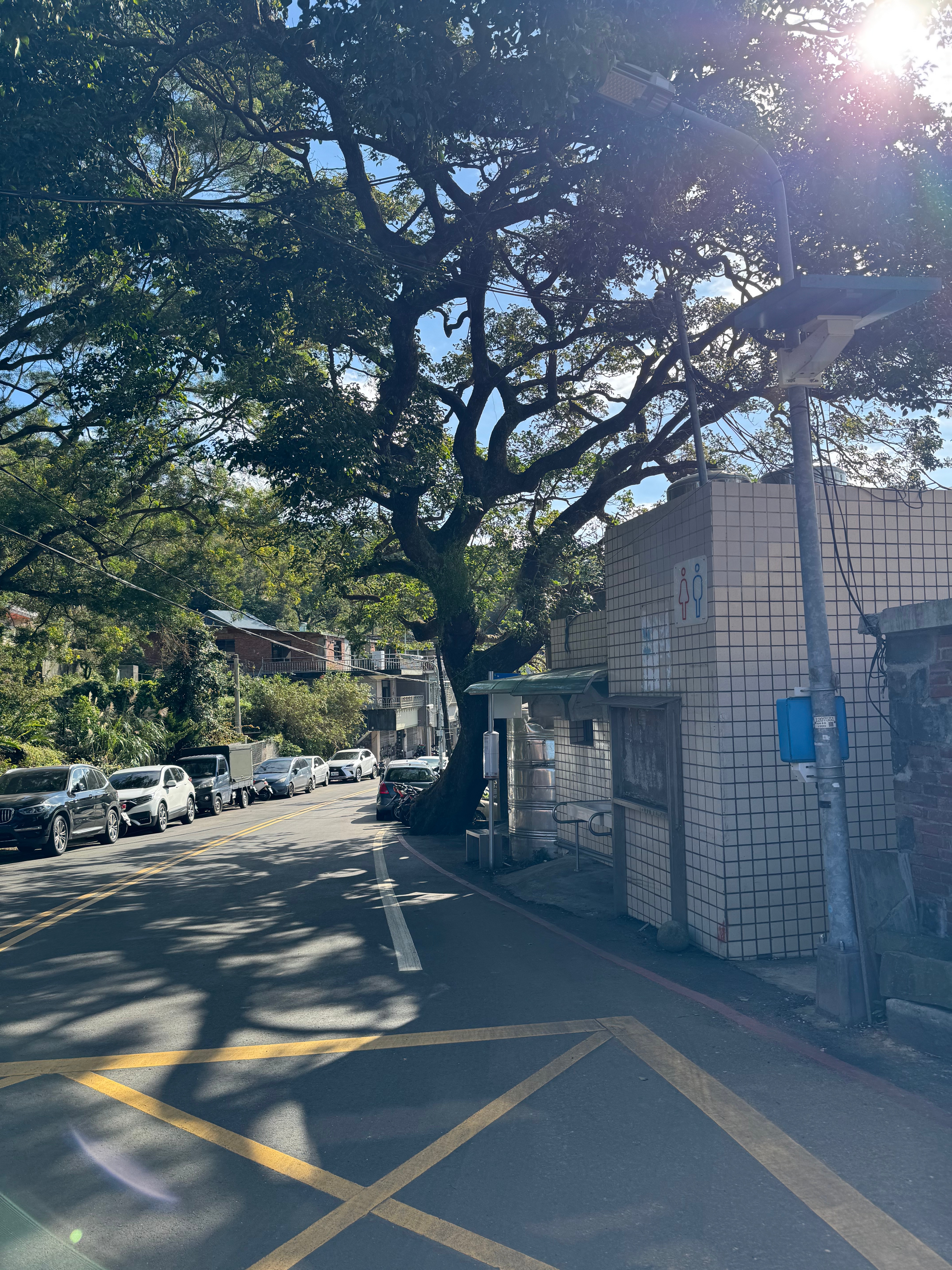
| Parking: some roadside parking approaching Qingtian Temple | 停車:青天宮外面路邊停車位 |
| Public transport: trailhead: S6 bus to Beitou MRT (every 30 min) endpoint: none | 公共交通: 步道起點:S6公車(每30分一班);從清天宮站至北投捷運。 終點:無 |
| Shade: shady | 樹木覆蓋:樹陰多 |
| Water and Restrooms: restrooms and water available at Qingtian Temple | 水源、廁所:清天宮有廁所、飲水機 |
My travel diary
November 30, 2024
2024年十一月三十日
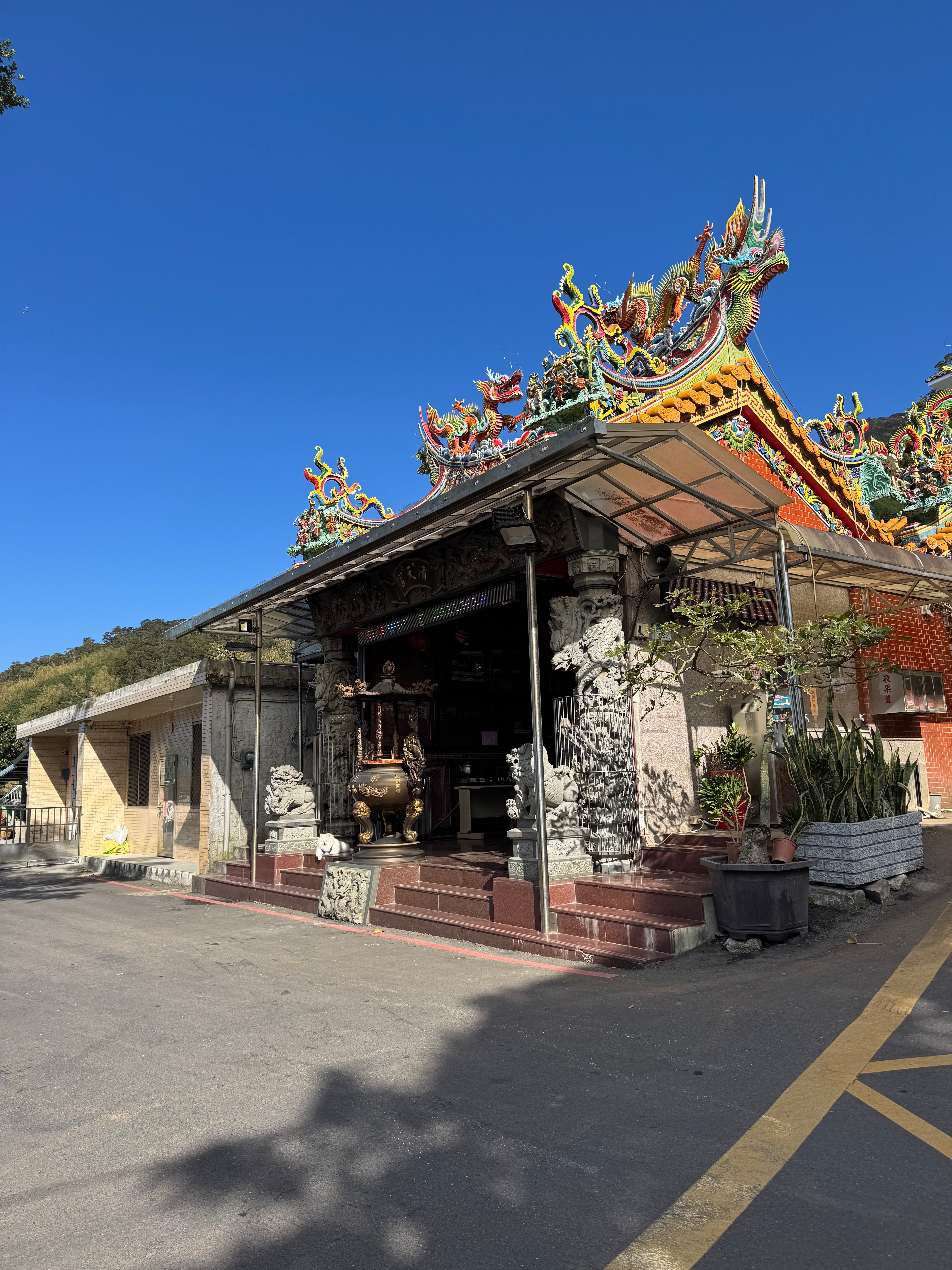
There was a tiny block of free time before we had to go to a company banquet this Saturday, so we flew up the mountain to the approximate point we had left off the trail — Qingtian Temple 清天宮. This spot marks the beginning of the Mt. Datun peak-to-peak trail 大屯山主峰連峰步道. My partner joined in this time as well, making it easier to jolly our six-year-old into a good mood.
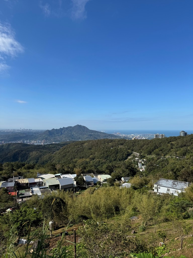
The temple is dedicated to Mazu 馬祖, the sea goddess. On a clear day you can see all the way from Taipei 101 on one side to the ocean on the other. There is also a wizened banyan tree across the street from the temple. Qingtian Temple is a gathering point for hikers, a good access point to the many peaks of Mt. Datun above.
This is a very popular trail, and as it turns out, I had hiked it before, some ten years earlier when I was teaching English in Danshui. During that adventure, I had taken the first part of the trail and then split off to climb up to Mt. Xiangtian 向天山 (Mt. Towards-the-Sun) and its sky pool 天池.
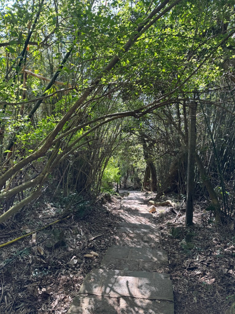
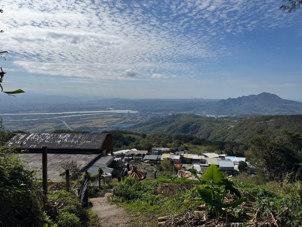
The hike begins with a stone staircase (as is so often the case) and views of the ocean over terraced farmland. That’s Mt. Guanyin 觀音山 in the distance, her arms stretching out toward the blue yonder, and Linkou behind her.
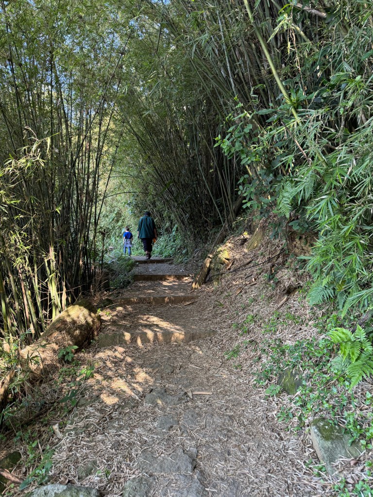
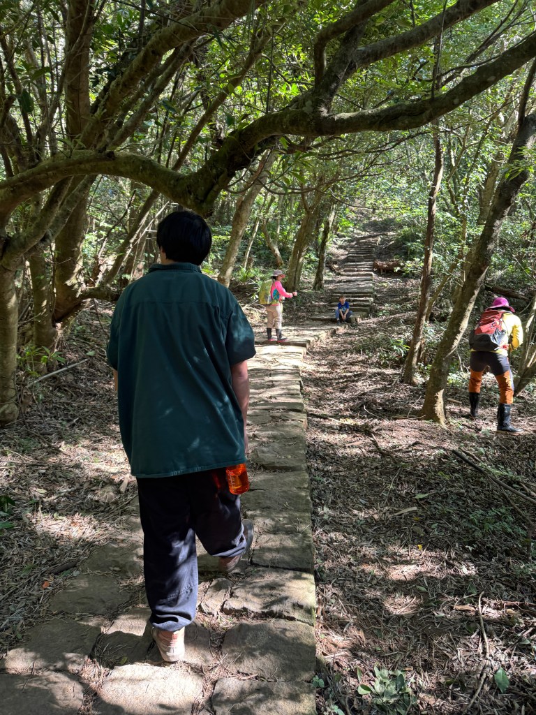
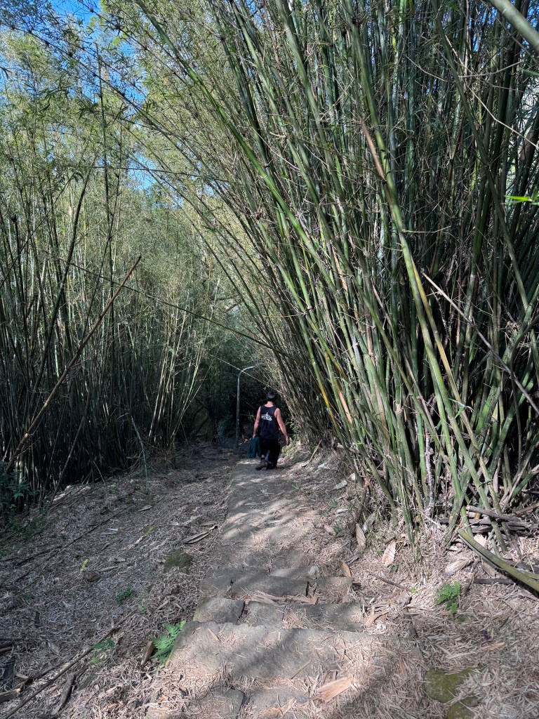
The stone steps continued for a while before petering out, leaving us on a nice dirt trail through a stand of bamboo. My six-year-old skipped along. He always likes the flat parts the best! And having dad along is a plus.
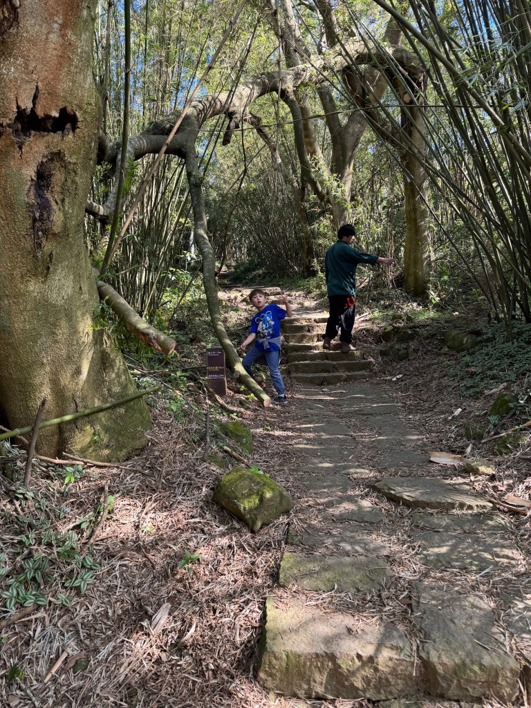
All too soon, the steps resumed, and my bilingual kiddo started lolling again and looking for distractions along the side of the path. For instance, the cool tree that arched over the path in the picture below. Definitely a dinosaur.
Soon, his dad took him by the hand to encourage him up the seemingly endless stairs. Time to race!!
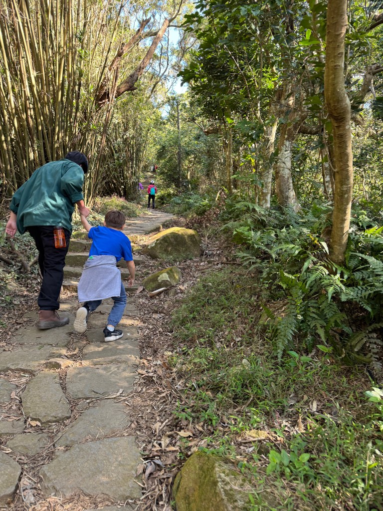
He soon decided that running ahead and then stopping to rest was the way to go. Perhaps it did break up the monotony of the stairs! But that last stone staircase upward looked too daunting to sprint up right away ^-^.
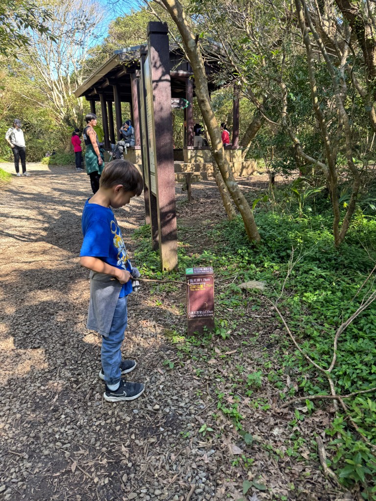
About 2/3 of the way through the hike, we found the turn off to Mt. Tianchi (at the marker for 1.2 km).
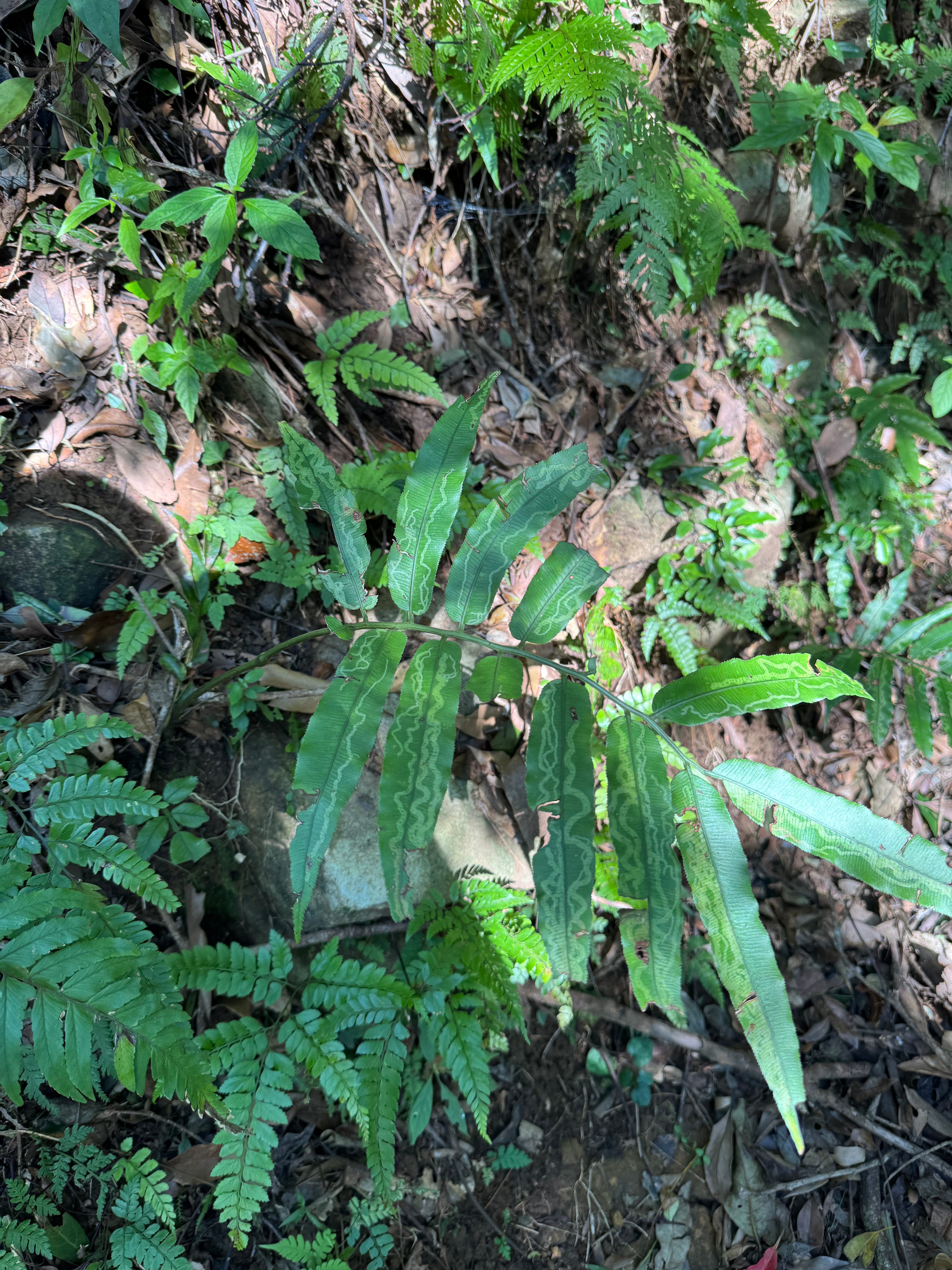
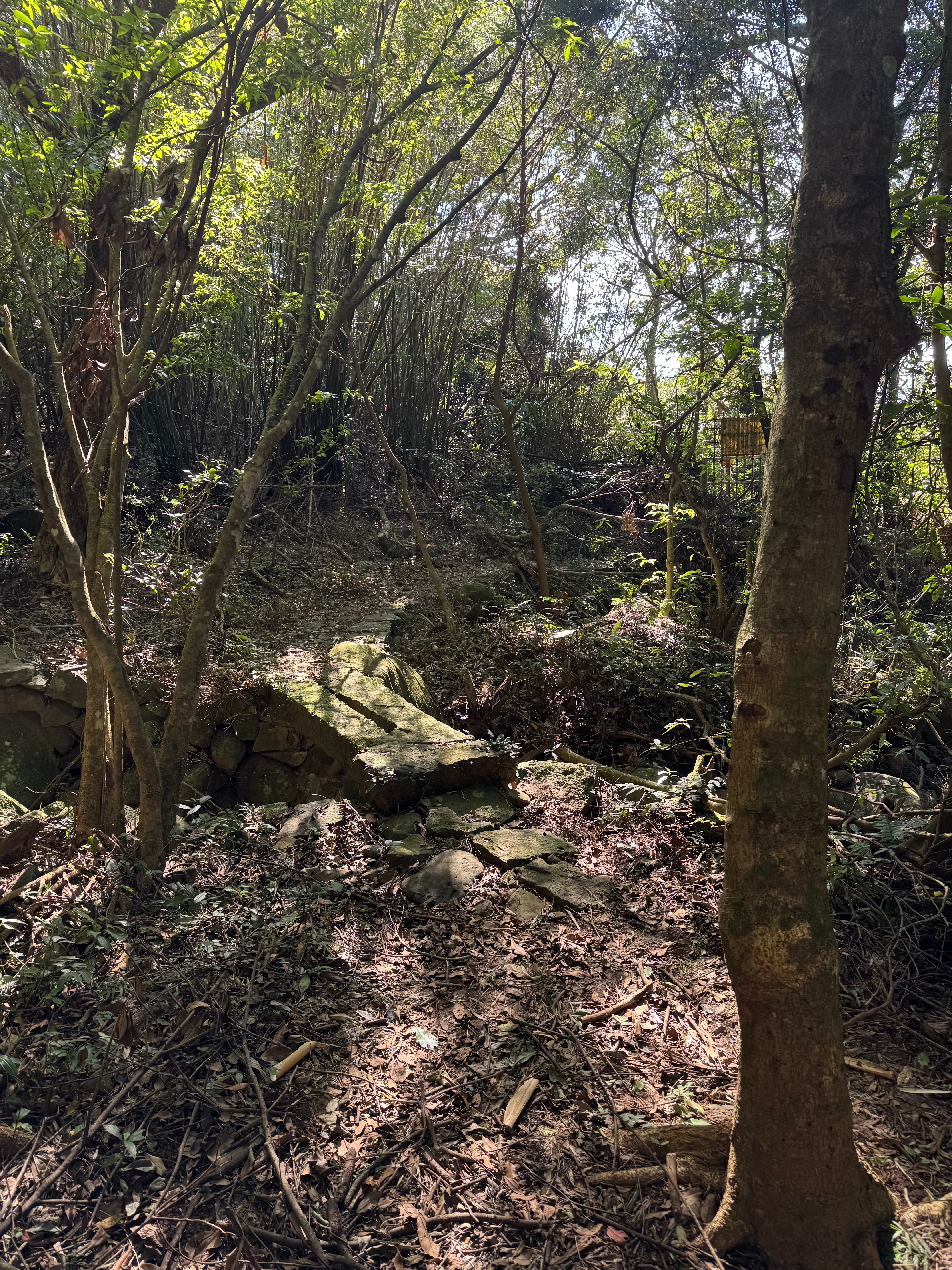
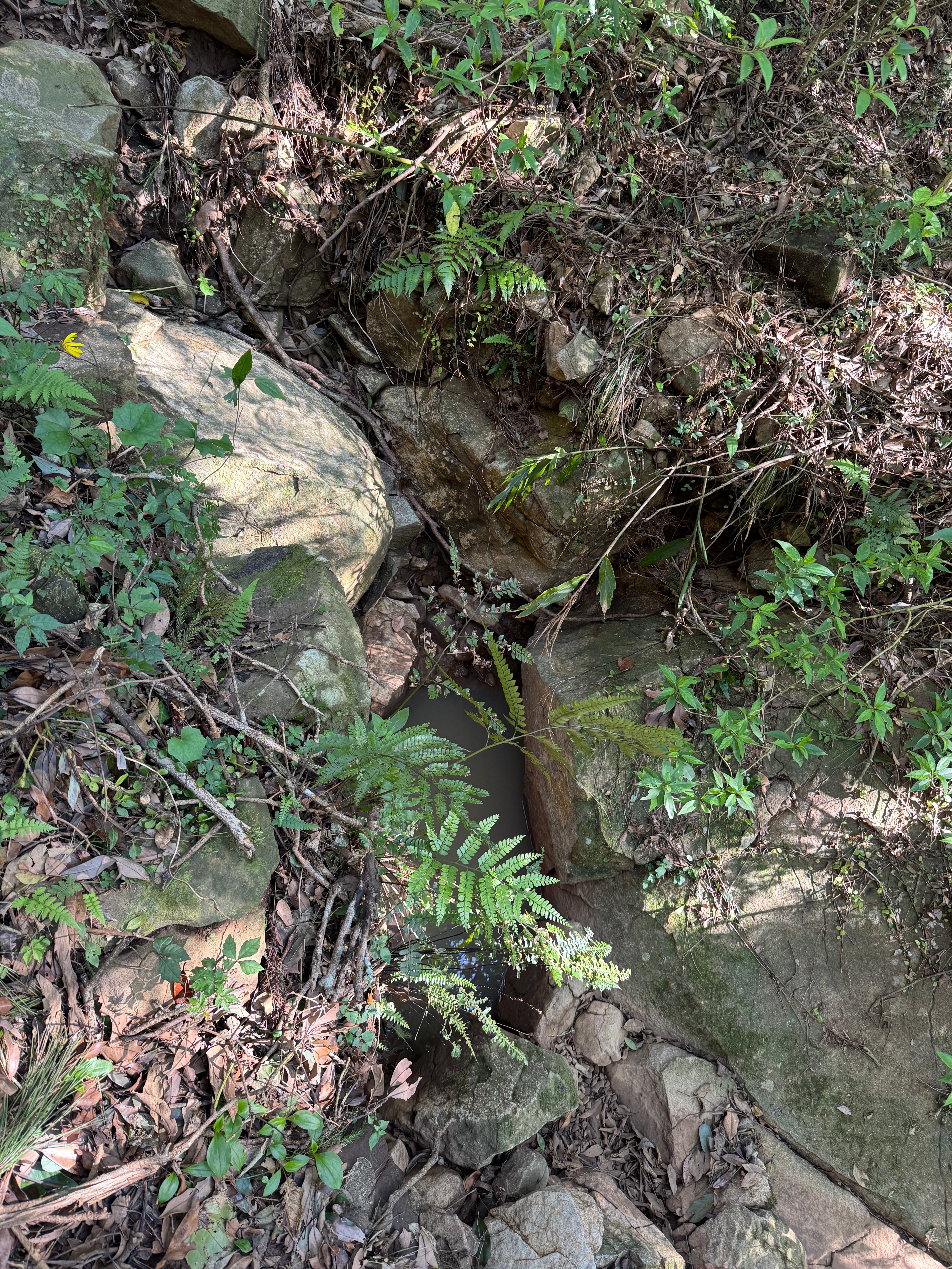
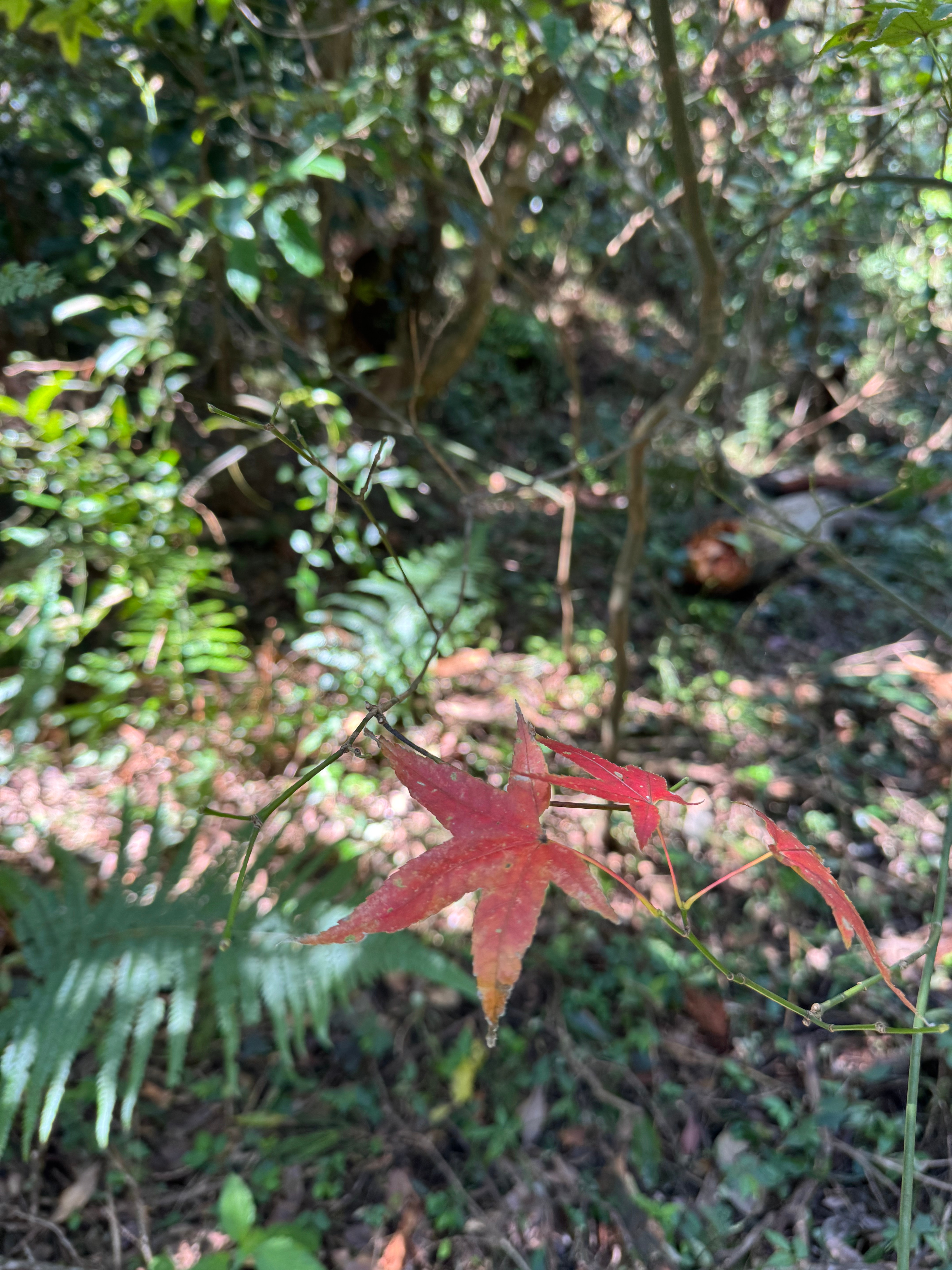
We also saw squiggly lines on leaves, a cute and rather ancient looking bridge, ferns, and bright red maple leaves (all but the last were objects that my six-year-old begged me to take photos of).
Eventually (at 1.4 km along), the stone steps ended again, leaving us on a nice dirt path. Good on the knees! Still, despite the relative flatness of the path, it kept going upwards.
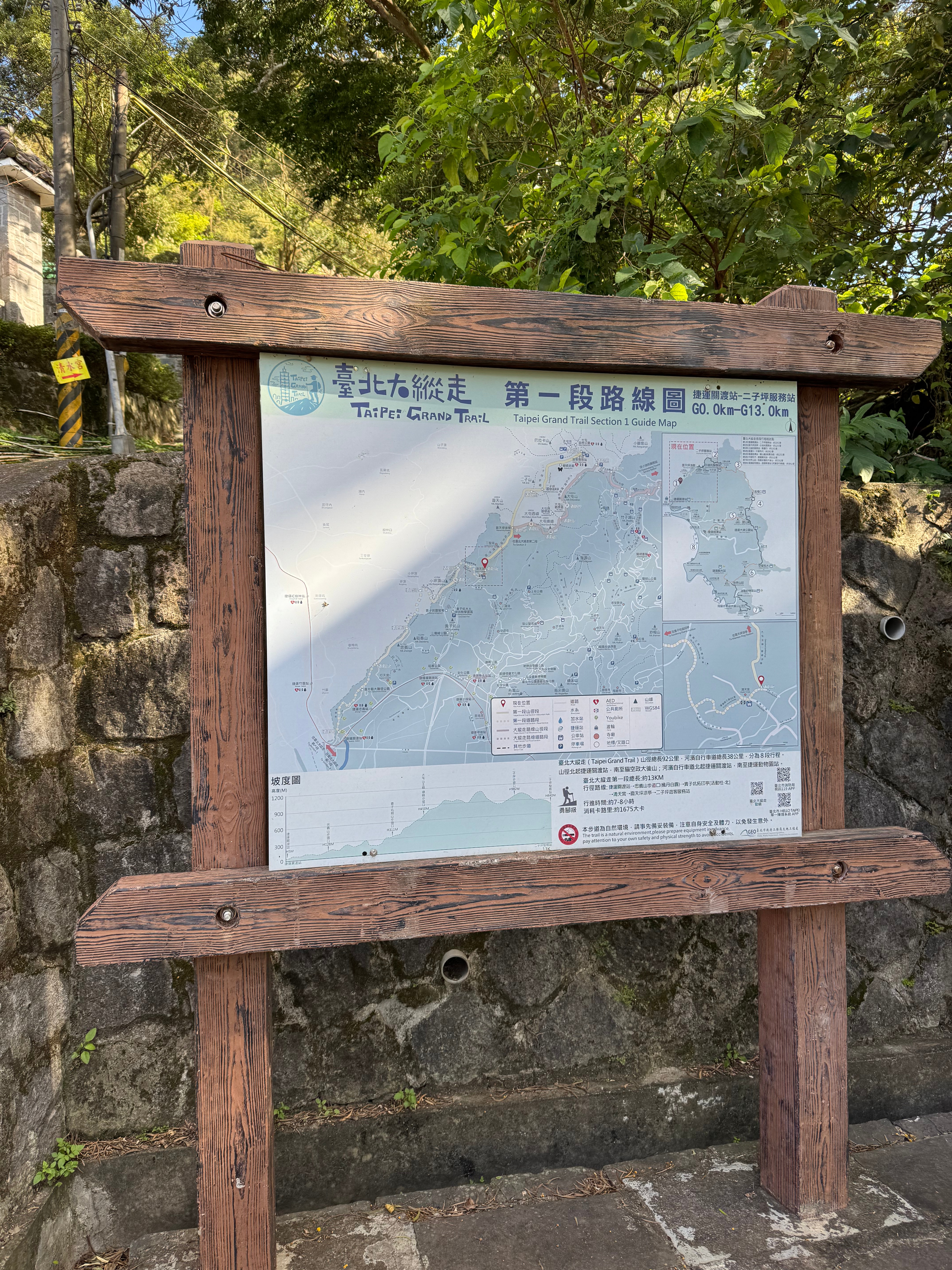
Finally, after walking about a mile and around 50 minutes (yes, there was a lot of complaining on the stairs) we made it to the Miantianshan Pavilion. This is a crossroads of sorts along the Taipei Grand Trail. If you continue going straight along the flattish path, you will eventually reach Erziping Recreation Area, and beyond it, the end of the first section of the Trail and a bus stop. If you turn right, however, you embark on the second section of the TGT. Having never hiked this part of the trail, we were persuaded to turn right at the pavilion by our bilingual kiddo, who saw the rugged terrain and thought it looked cool. And it does! but also scary. We clambered upward for about five minutes before heading back down the mountain, nervous that we would be late for our banquet.
Here’s the pavilion:
Here’s a picture of the steep hike up the Mt. Datun peak-to-peak trail (which continues to the right of the pavilion:
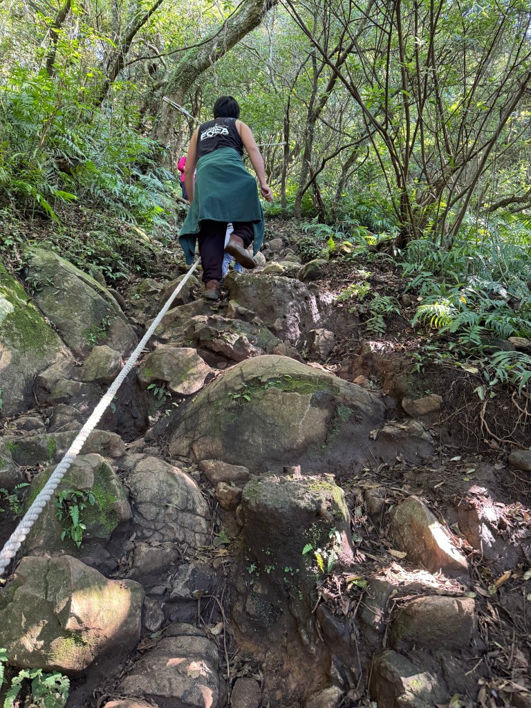
There were even steeper sections (difficult to take a picture that conveys how steep this is). We’ve done steep Taiwan mountain hikes with our six-year-old before (like the Pingxi Crags and the initial ascent of Wuliaojian Trail past Sanxia). All are dangerous if wet and slippery. When hiking with a kiddo on steep sections of a trail only passable by clinging onto a rope, it’s important to be prepared. Gloves are crucial, the right shoes, lots of water, and having two adults along (one on each end) is best.
If you don’t feel comfortable, I suggest you skip the Datun peak-to-peak trail (Section 2.2) It would be really difficult with a kiddo; I haven’t yet reattempted.
If you want, you can continue on past Miantianshan to Erziping, the Recreation Area, and the buses beyond –there is one more steep climb after the pavilion, but after that its an easy 1 mi/1.6 km walk.
But we had to get to our banquet, so we descended the mountain, heading back to Qingtian Temple. It was much faster going down.
The loop from the temple up to Miantianshan Pavilion and back is 2 mi/3.2 km, and it took us a full 2 hours (though this also includes our extra interlude scrambling up that rope-lined segment of Section 2).
Until next time, Taipei Grand Trail!
下次見,台北大縱走!

Leave a comment