Guizikeng Trail
to
Xiajingque Trailhead
路段1.3:貴子坑步道- 下青礐步道入口
Know before you go
| Length: .8 mi/1.2 km (loop length: 2.5 mi/4 km) | 長度:0.8英里/1.2公里(含回程:2.5英里/4公里) |
| Terrain: stone stairs, stone path, some steep sections | 地形:石階、石徑;有些陡坡。 |
| Parking: a small lot at Guizikeng entrance | 停車:貴子坑生態園區入口停車場 |
| Public transport: trailhead: 223 bus will take you halfway up the mountain from Fuxinggang MRT (every 20 min) to Guizikeng Soil and Water Conservation Area stop, then walk 16 min. to trailhead endpoint: walk 11 min. to Qingtian Temple, take the S6 bus to Beitou MRT (every 30 min) | 公共交通: 步道起點:223公車 (每20分一班);從復興崗捷運至貴子坑水土保持園區站 終點:S6公車(每30分一班);從青天宮站至北投捷運。 |
| Shade: shady | 樹木覆蓋:樹陰多 |
| Water and Restrooms: restrooms and water in the campground; also restrooms about halfway along the trail by a pavilion | 水源、廁所:露營區有。途中涼亭旁有公廁。 |
| Camping: Guizikeng Camping Area (need reservations far in advance; note: the website is only in Chinese) | 露營:貴子坑露營區(需要提前預約) |
My travel diary
November 23, 2024
2024年十一月二十三日
It was another month before I could convince my six-year-old to go on another long hike with me. We headed directly to the parking lot by Guizikeng Soil and Water Conservation Area and parked in the small lot. We left Taoyuan early on a Saturday, arriving at around 8:45 AM, and it was still pretty deserted. The day was a bit damp but warm when the sun peeked through the clouds. I thought this would be a new trail for me, but as it turns out, I had actually recorded a video here ten years before. It was a weird feeling of deja vu to return. Guizikeng is a beautiful area, especially the Lovers Pond by the campground.

Note: We began our hike on a portion of the trail that is not technically a part of the Taipei Grand Trail (we did the Guizikeng loop route and came down along the Trail). If you are thru-hiking, reverse the direction of this article (start at the end). If you are looking for a day hike that is doable for your kiddo, read on!
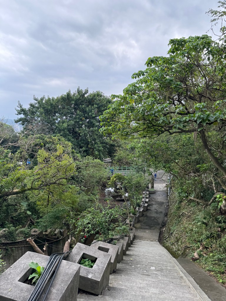
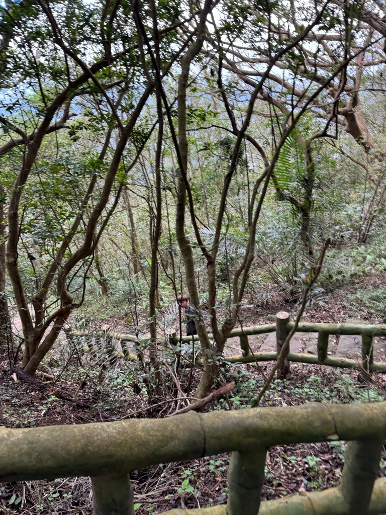
The trailhead (on the east side of the conservation area), marked ‘Guizikeng Hiking Trail’ 貴子坑親山步道, is not quite as pretty as the lake, lined with concrete pillars and slithering water pipes. But we quickly moved past these and onto the nature trail.
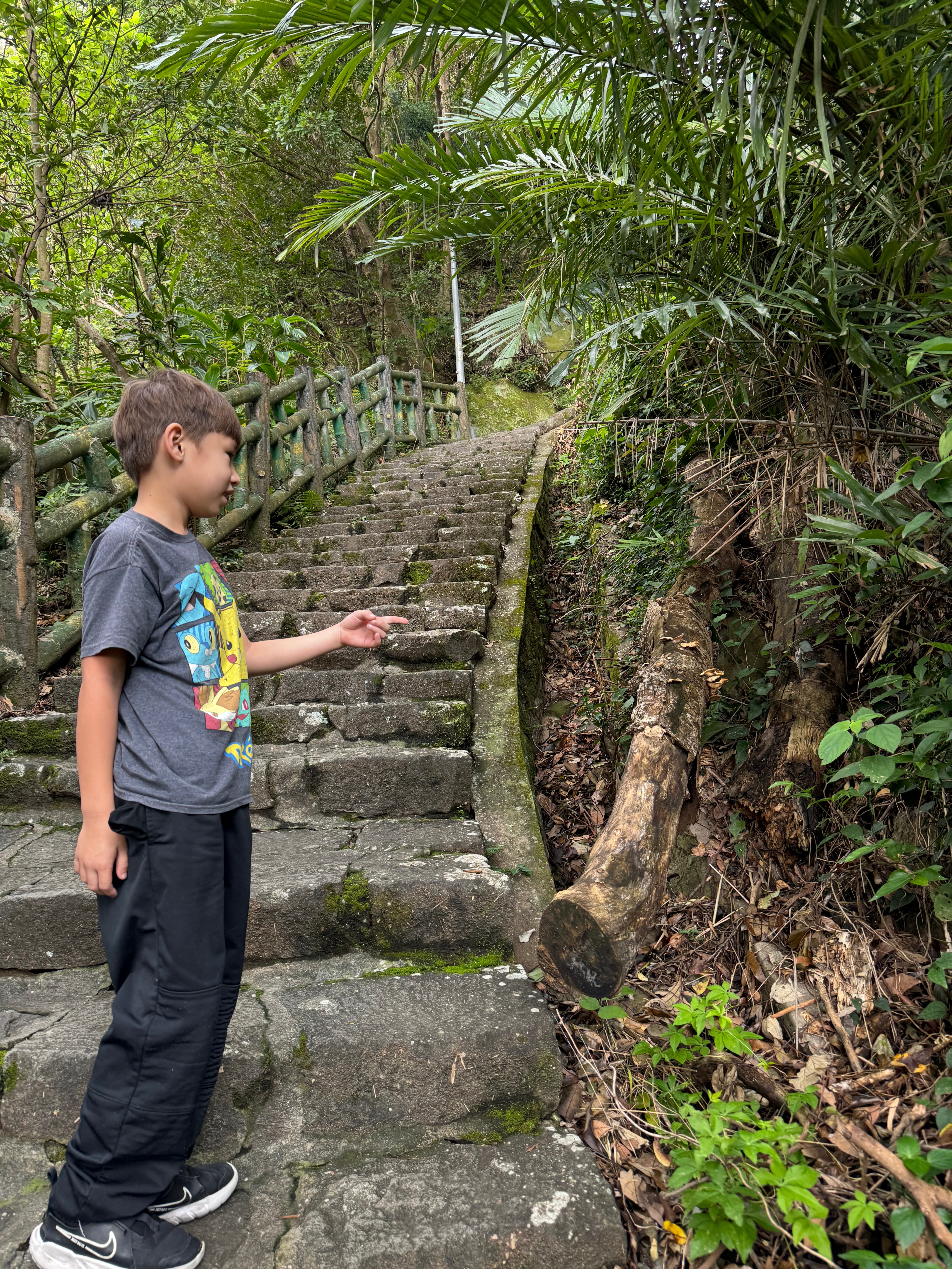
The next part of the trail was not technically difficult, but certainly steep. We stopped quite a few times and sat on the steps and rested.
Steep.
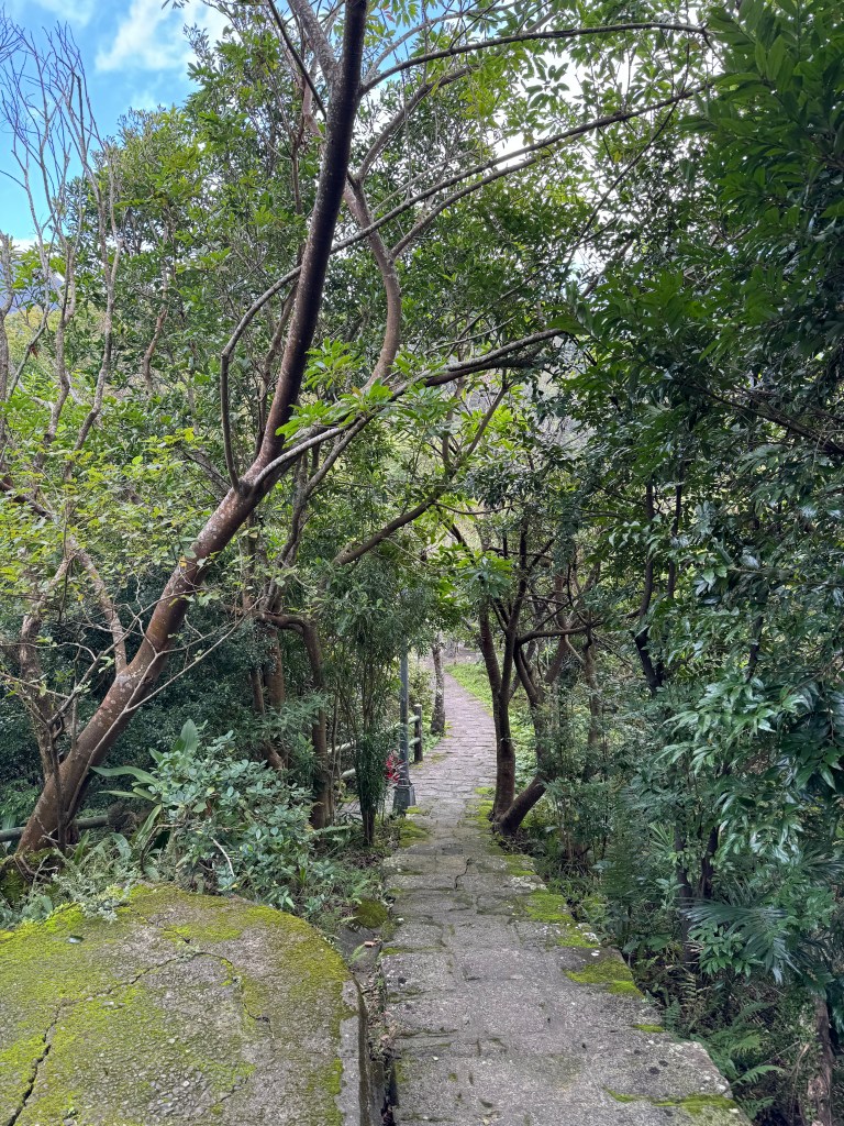
The stone steps turned into wooden stairs, which were equally steep.
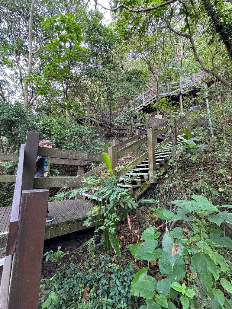
Then the wooden stairs turned back into stone steps.
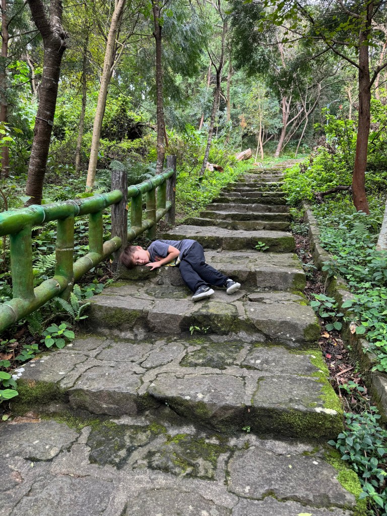
Sometimes, we not only sat on the steps but lay on them.
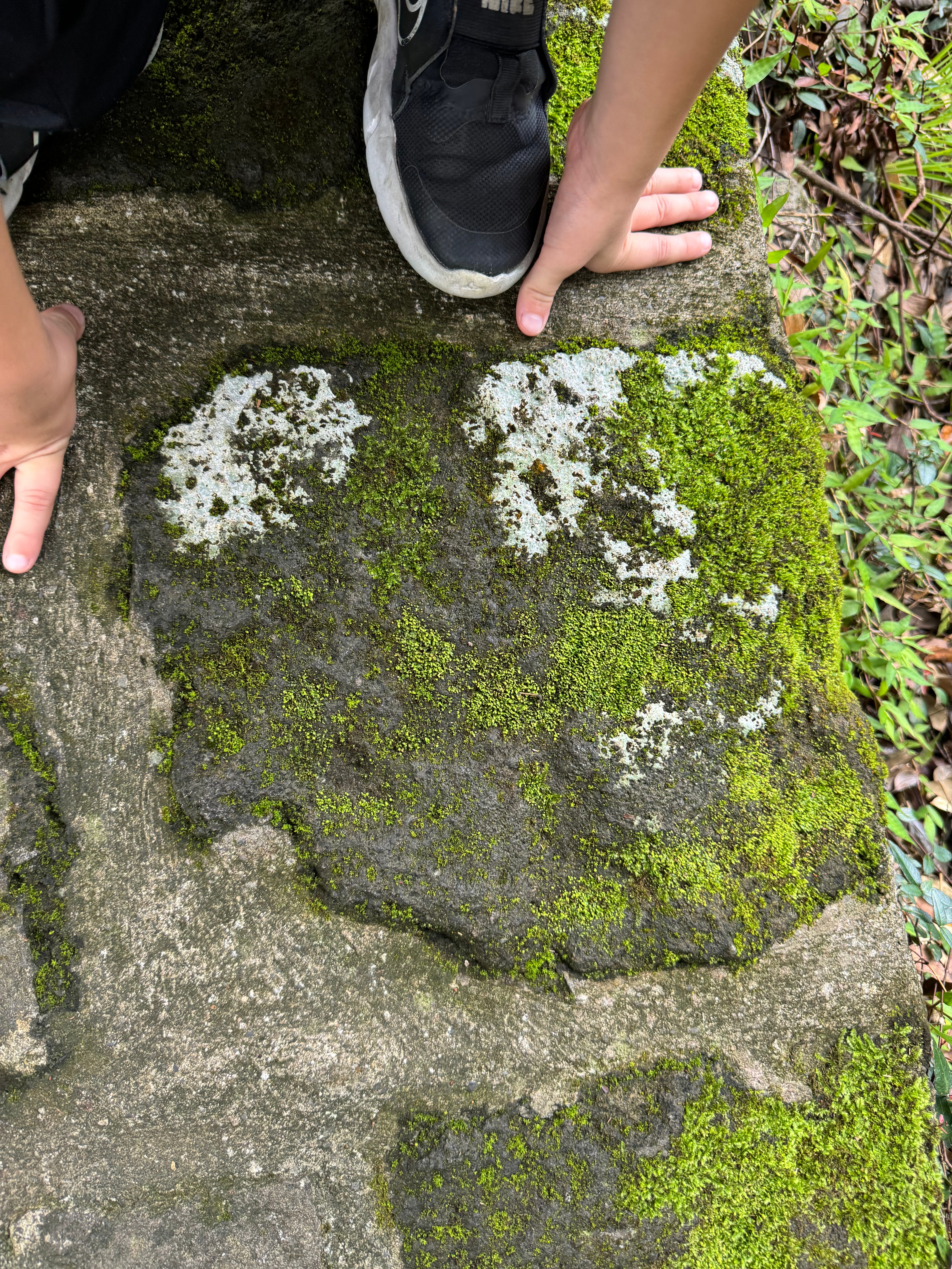
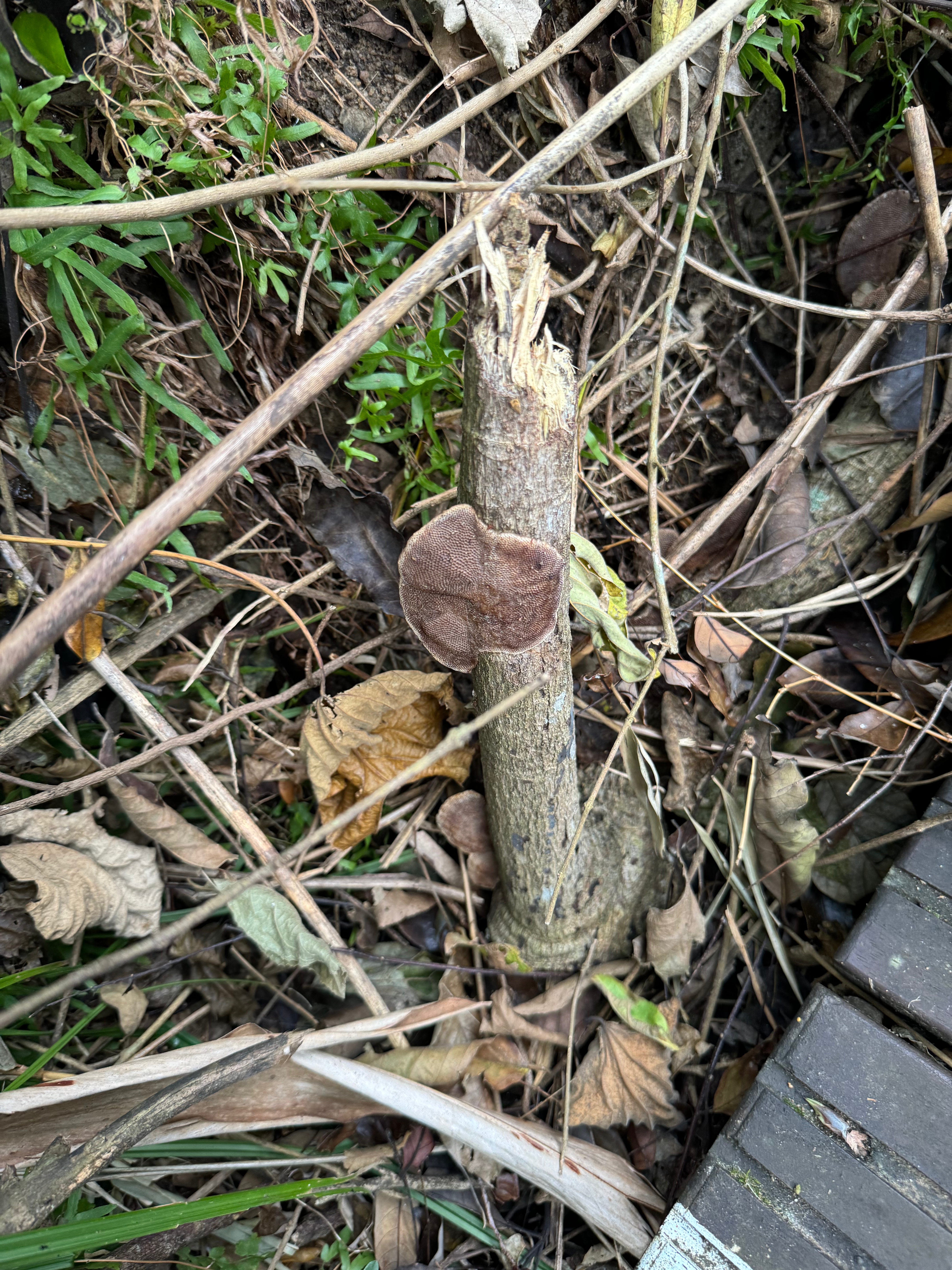
We also found a bunch of cool mushrooms and lichen and water bugs on the way.
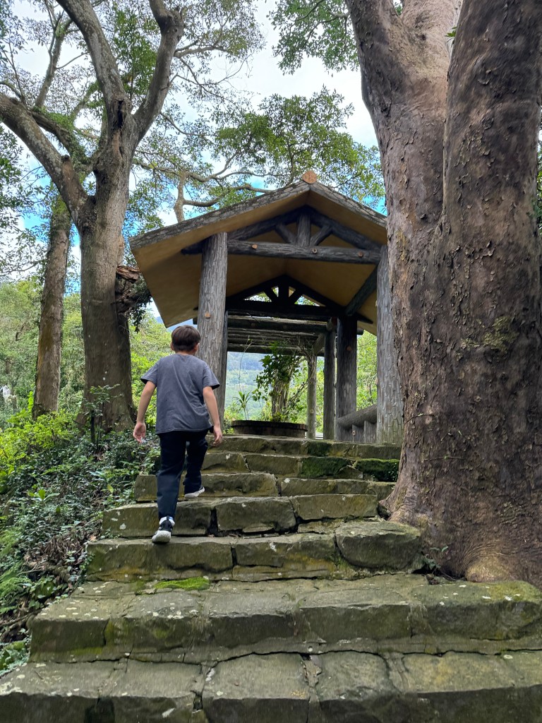
There is a pavilion and restrooms about 700m up the trail.
At the top of a ridge we came to another pavilion with a pretty view.

After more stairs, we finally reached a flat section and came to a creek and waterfall. It was really beautiful and made the hike worth it (though none of my pictures really managed to capture it).
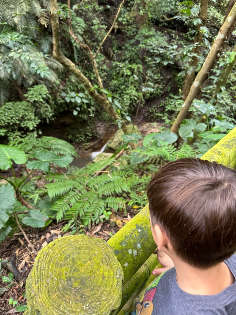
We passed over the waterfall and made our way up a few more staircases to a stencil board.

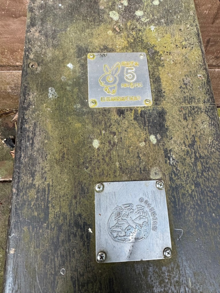
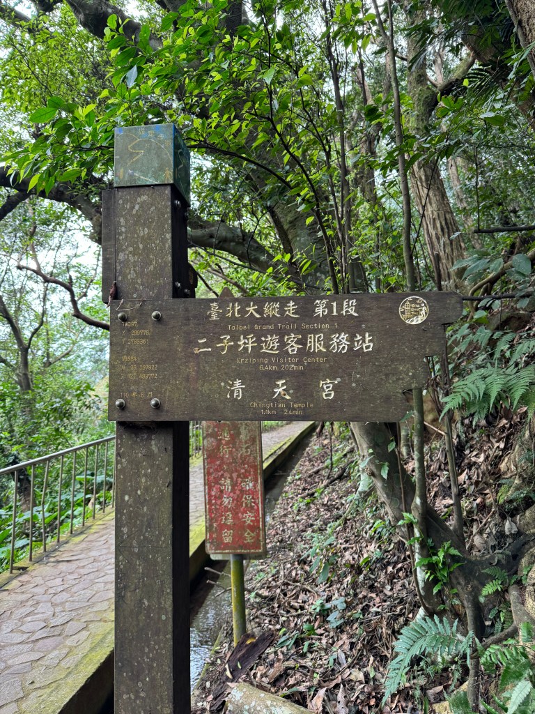
This stencil board marks the place where the Guizikeng Hiking Trail meets up with the Taipei Grand Trail. If you keep going upward (to the right up a staircase), you will soon come to Fuxing 3rd Rd. (marked as the Xiaqingque 下青礐 Trailhead) and the road connector to the next section (as well as Qingtian Temple and its bus stop). If you are doing the loop trail, instead turn downward and left.

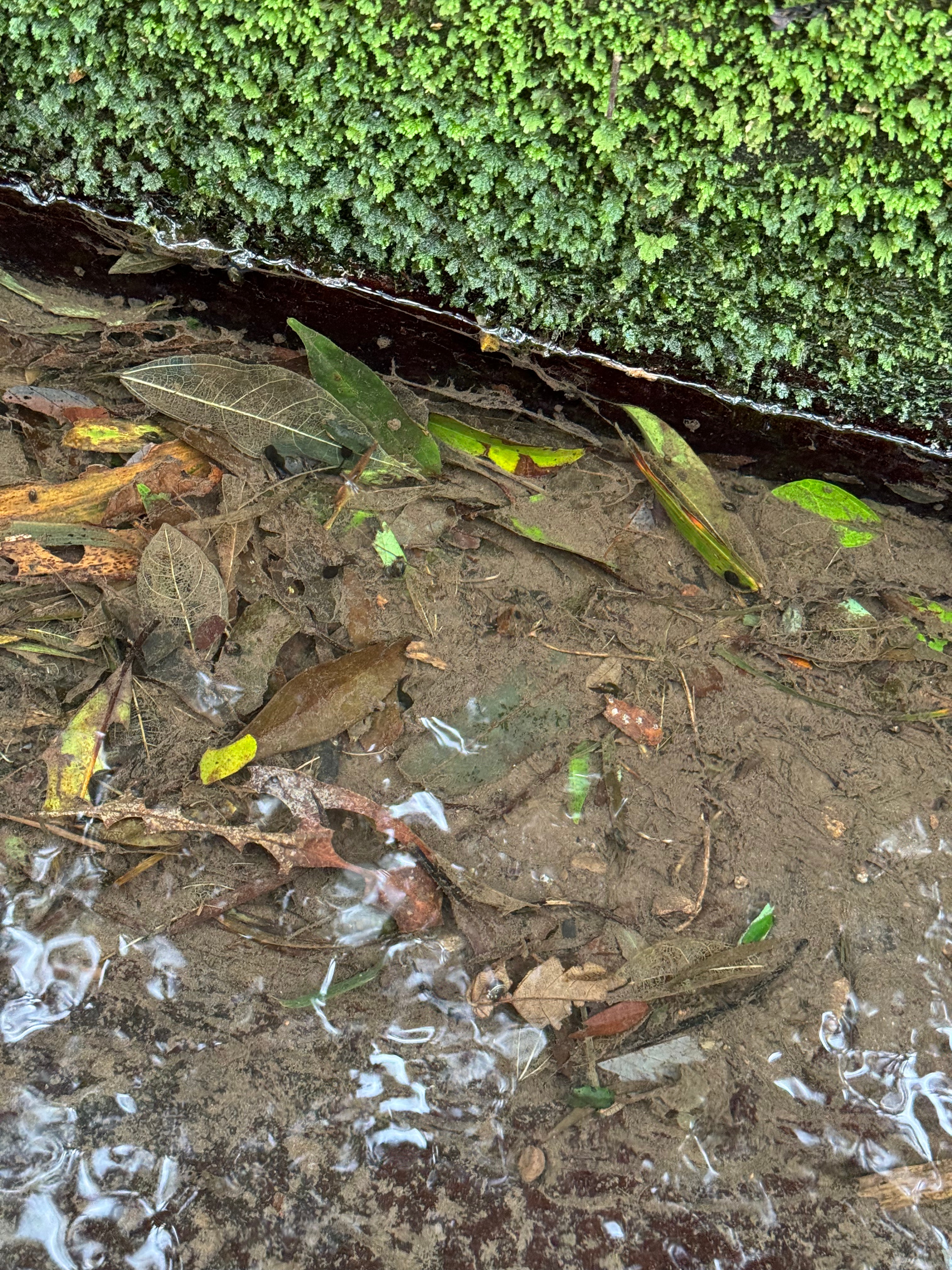
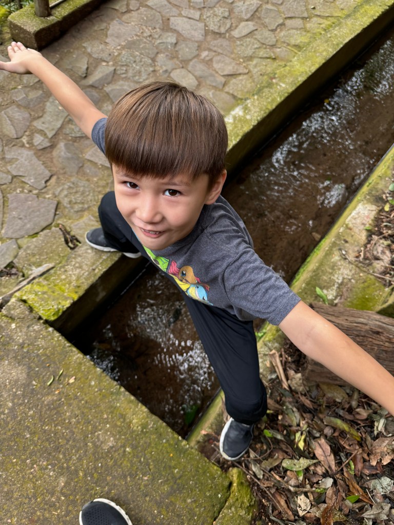
The loop trail is flat at this point and hugs the side of the mountain for quite some distance. It is lined by a small ditch in which leaves and water bugs proliferate. My six-year-old liked this part, lots to poke at with sticks and jump over.
After some switch-backing, the trail started to go down steeply (this would be a steep upward climb for Taipei Grand Trail thru-hikers; we were glad we went the other way!!). Down and down and down we went.
This trail was significantly longer that the other sections we had done thus far, and we were definitely fatigued and ready to get back to the car.
But the trail just kept descending. No rest for the weary!
Eventually we emerged to a small mountainside farmhouse and the road (Lane 85, Xiushan Rd.). We turned right, following the road, crossing a bridge, and then coming to the Guizikeng Campground. If you are doing a thru hike, this might be a good place to spend the first night, though it requires reservations far in advance.
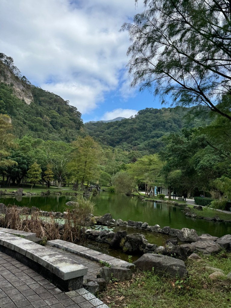
The rest of the hike was a lovely walk through the Guizikeng Soil and Water Conservation Area (pictured above). We passed pavilions, views of cliffs and temples, and Lovers Lake, before returning again to our car.
The entire 4 km route took us 1 hour and 45 minutes to complete.
Until next time, Taipei Grand Trail!
下次見,台北大縱走!

Leave a comment