
Zhuzihu Lily Trail
to
Arrow Bamboo Trailhead
路段2.6:竹子湖芋見步道至箭竹林步道入口
Know before you go
| Length: 1.3 mi/2 km | 長度:1.5英里/2公里 |
| Terrain: mostly flat, paved trails, some roadside walking, a few stone stairs (at the very end) | 地形:多平的石頭路,路邊階段,些許石階(最後段路) |
| Parking: free roadside parking next to the Shuiwei Balaka trail endpoint; paid parking at the end of Section 2.6 (at Xiaoyoukeng Bridge parking lot, 20 NTD/hour) | 停車:水尾巴拉卡步道出口旁可以免費在路邊停車;在路段2.6終點有付費停車場(小油坑橋停車場;20元/時) |
| Public transport: public buses trailhead: S8 (Shipai); S9 (Beitou); 129 (Beitou) to Hutian Community Center stop; endpoint: 108 Shuttle Bus and 1717 (Jiantan, NTU Hospital) bus from the Bailaka Rd. intersection stop | 公交:公車 步道起點:S8(從石牌);S9(從北投);129 (從北投)至湖田區民活動中心站 終點:108(環山);1717 (往劍潭;台大醫院)在百拉卡公路路口站 |
| Shade: the roadside sections and Yangming Creekside trail are covered by trees, but the Zhuzihu Lily trail is unshaded | 樹木覆蓋:路邊階段及陽明溪步道多樹陰;竹子湖芋見小路很曬 |
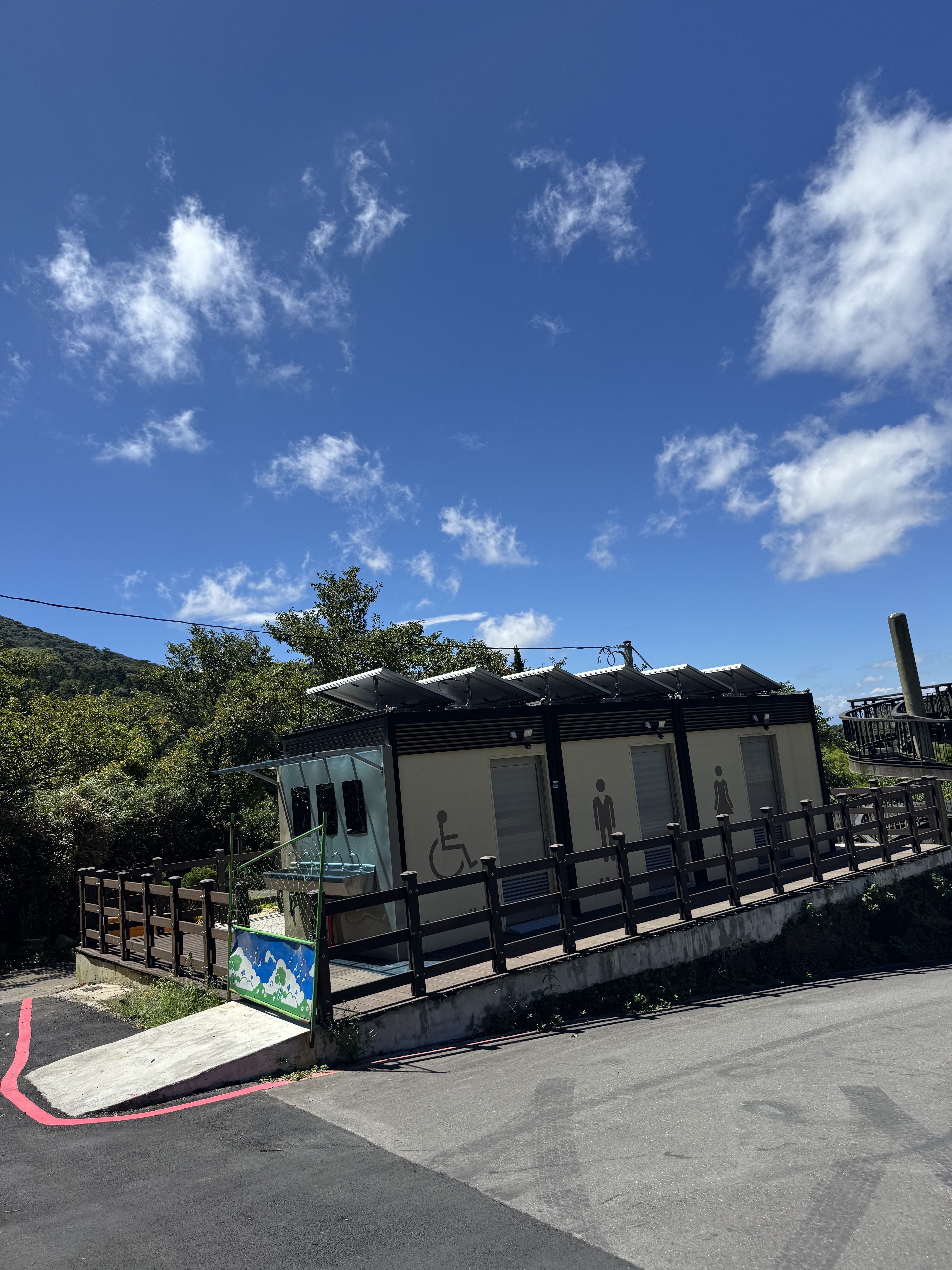
| Water and Restrooms: there are portable toilets located near the Shuiwei Balaka trail endpoint as well as 2/3 through the hike, at the “Everlasting Happiness Pavilion” (end of the Lily trail). They have just built accessible toilets here, but as of 8/15/25, these have not yet opened. No water. | 水源、廁所:水尾巴拉卡步道出口附近,以及鐘聲幸福觀景台旁有流動廁所。觀景台旁似乎最近蓋了無障礙廁所,但目前(2025年8月15日)尚未開放。無水源。 |
My travel diary
August 15, 2025, ten in the morning, in Yangmingshan National Park
2025年八月15日,早上十點,在陽明山國家公園
We continued our hike on a sweaty August morning, shortly after arriving back in Taiwan from the U.S. We drove from Taoyuan, taking the Yangde Blvd. route up the mountain from Shilin. A typhoon had just swept across the island, leaving behind a radiant blue sky and impeccable air quality. What a day for a hike!
It was slightly cooler on the mountain. We set our GPS for the Shuiwei Balaka trail endpoint and wound our way through Zhuzihu. (Note: the Shuiwei Balaka trail was closed when we visited).
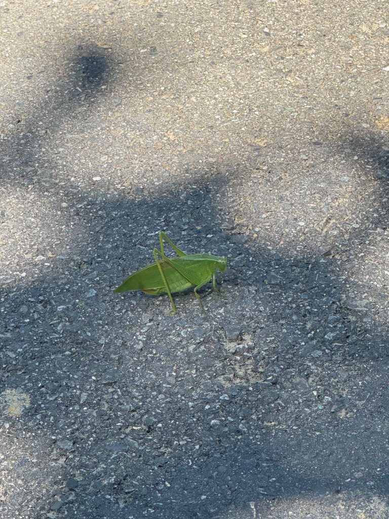
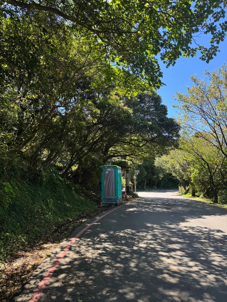
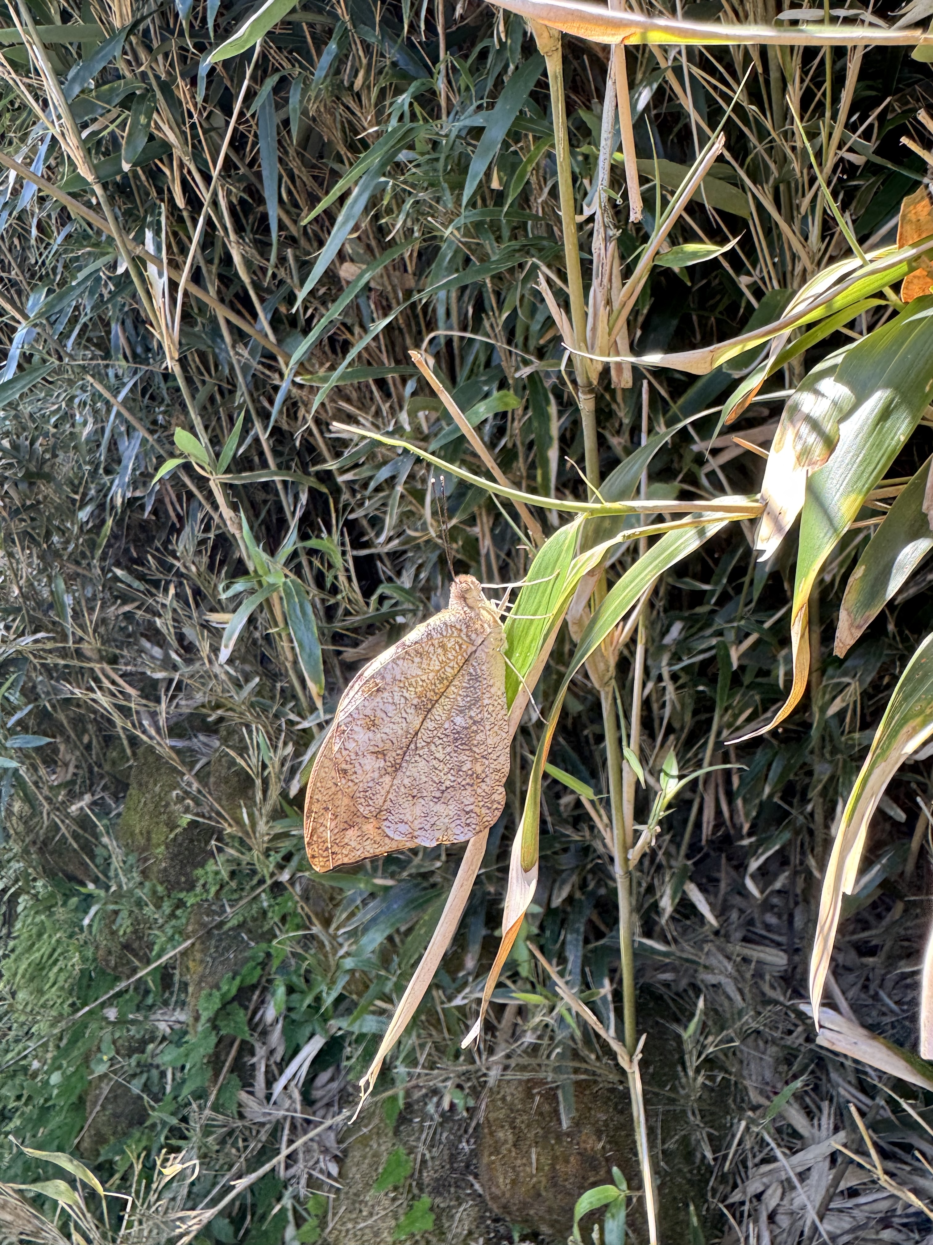
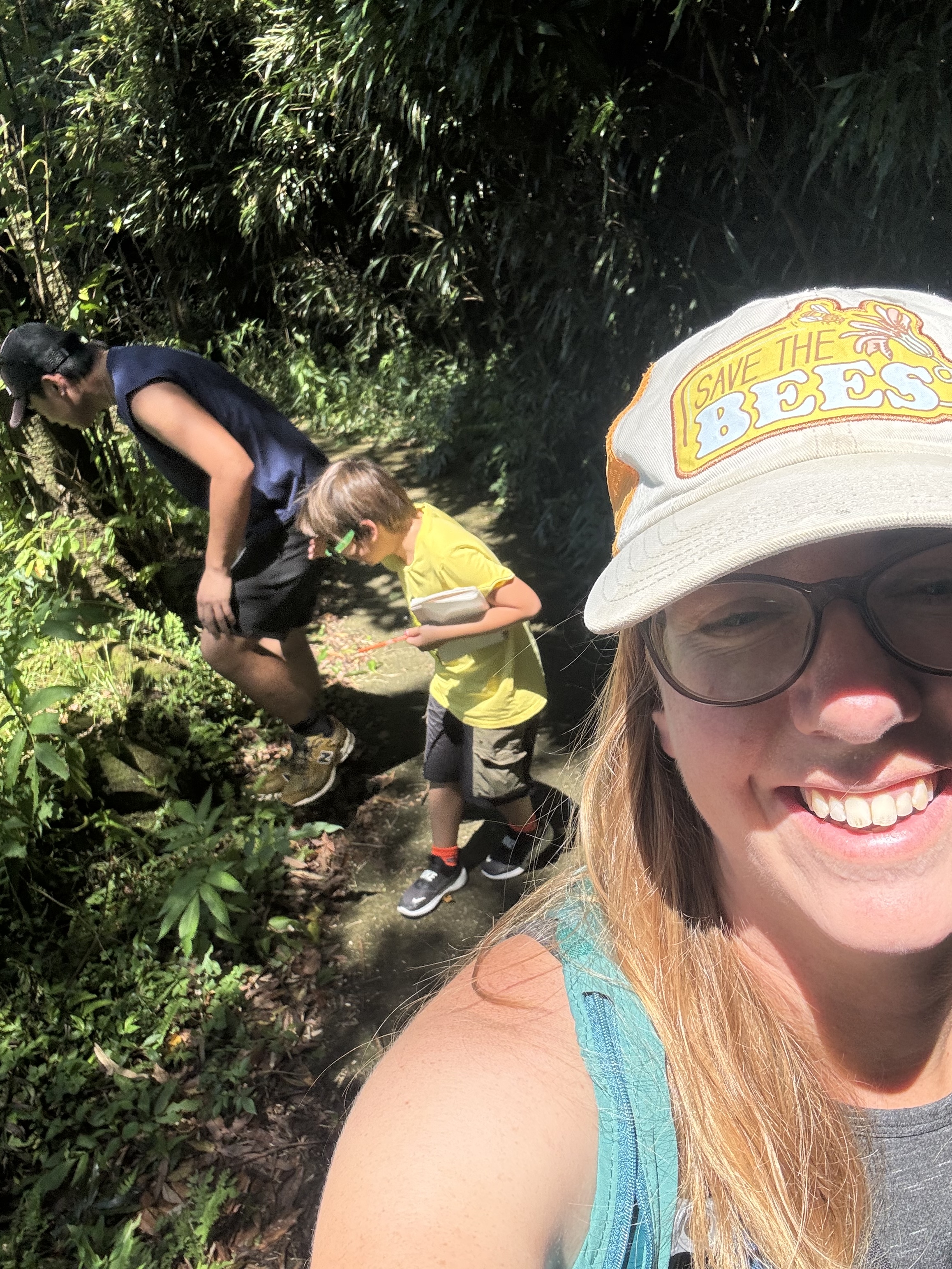
After parking roadside, we walked along the berm for a short distance. This area is pretty secluded, but we did pass a couple of vegetarian restaurants. There were also some cool bugs in the road, like a walking leaf and many butterflies. We happened upon some porta-potties and availed ourselves.
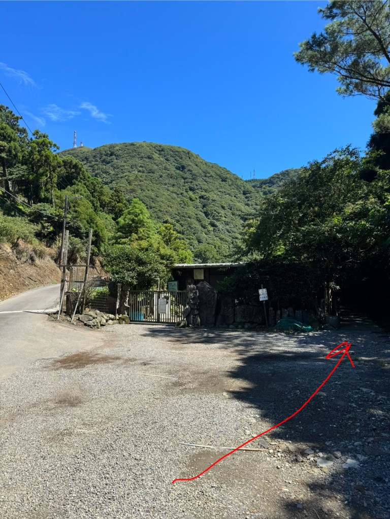
Directly after the portable toilet, we turned left. The road runs into a cafe (Minyangpu, also closed during our visit) and it would be easy to get lost here. Head to the right hand side of the cafe for the trail.
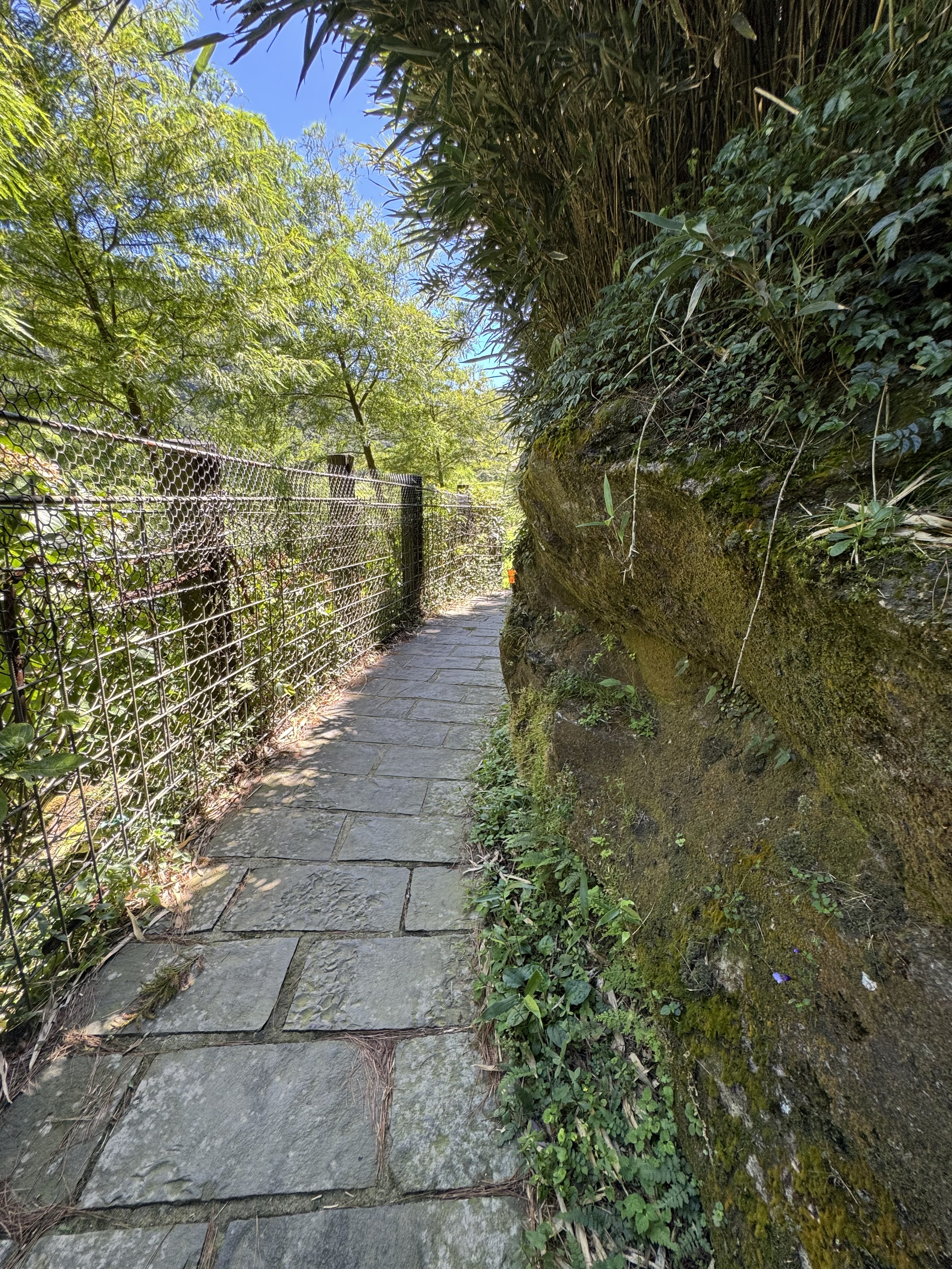
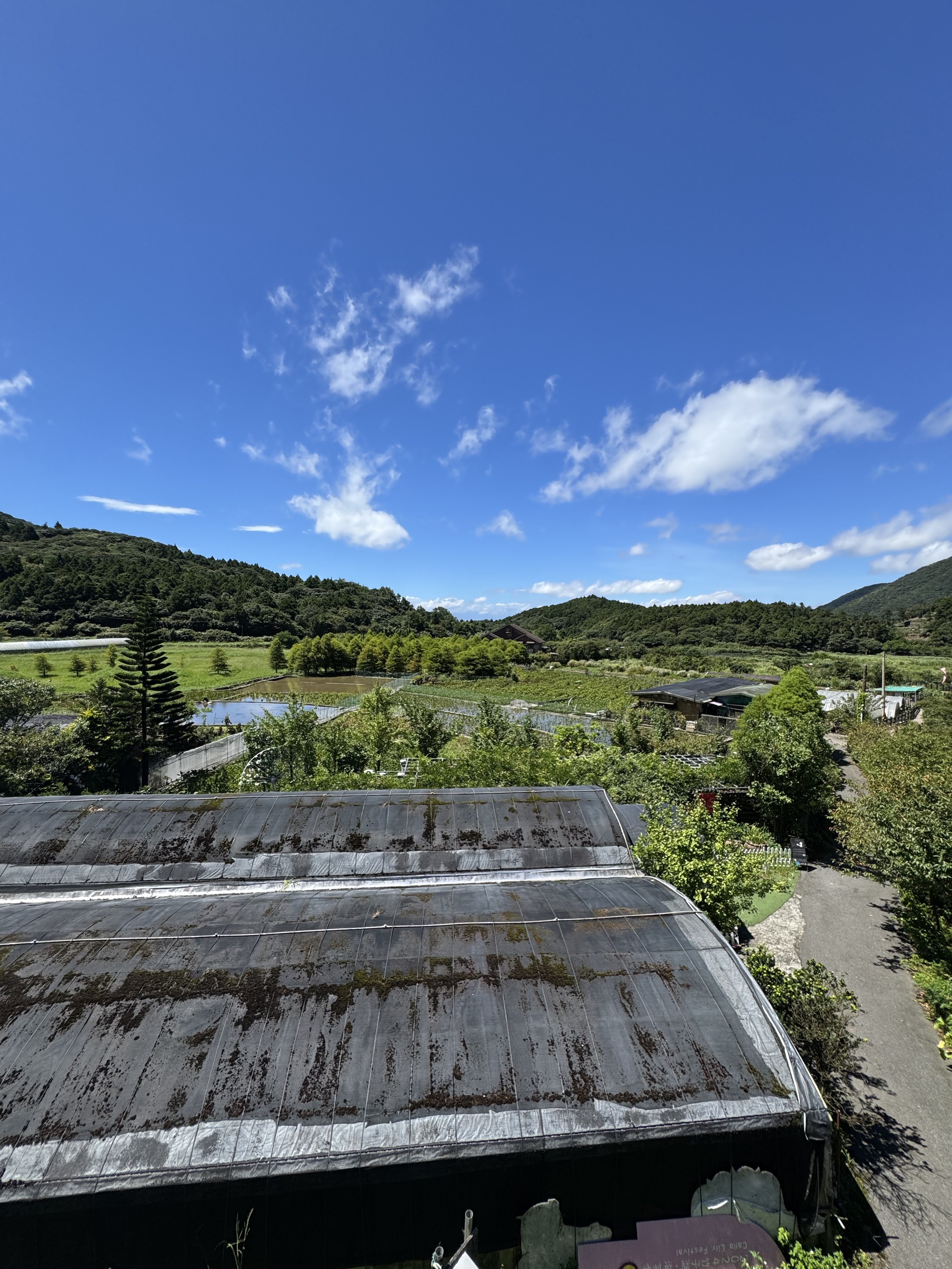
Here the trail becomes a stone walking path, one that weaves in between the terraced fields and along the waterways of sunny Zhuzihu.
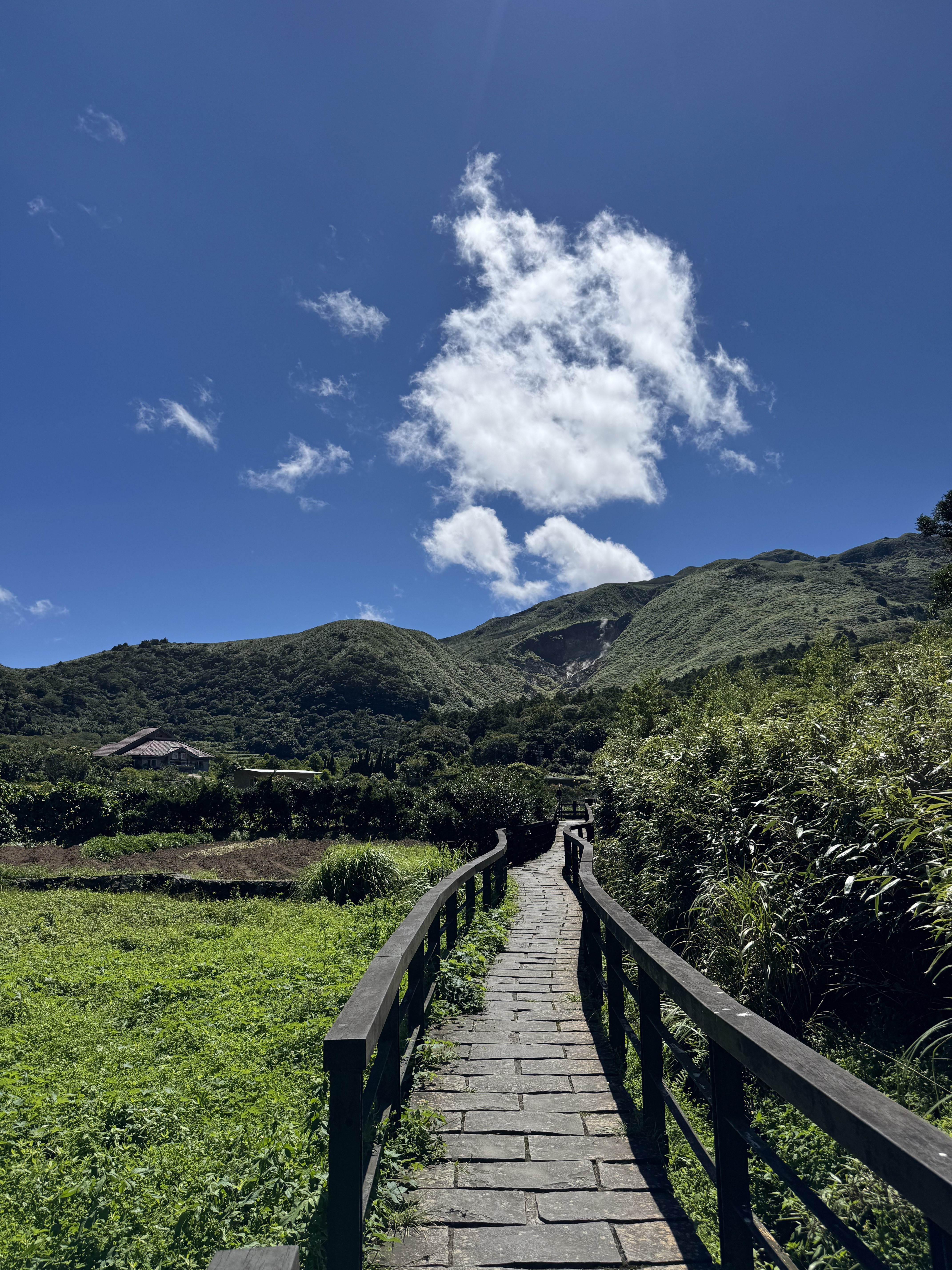
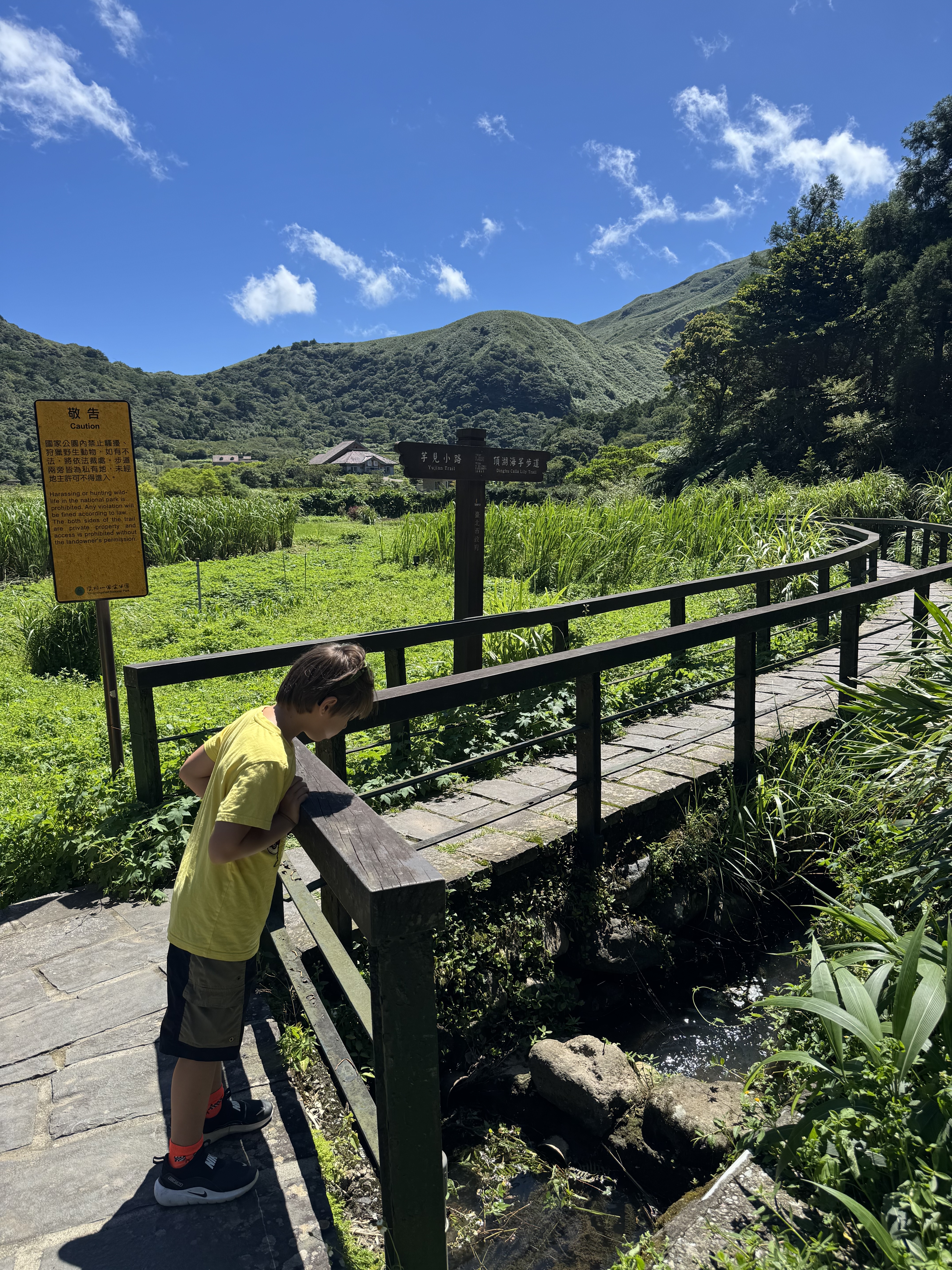
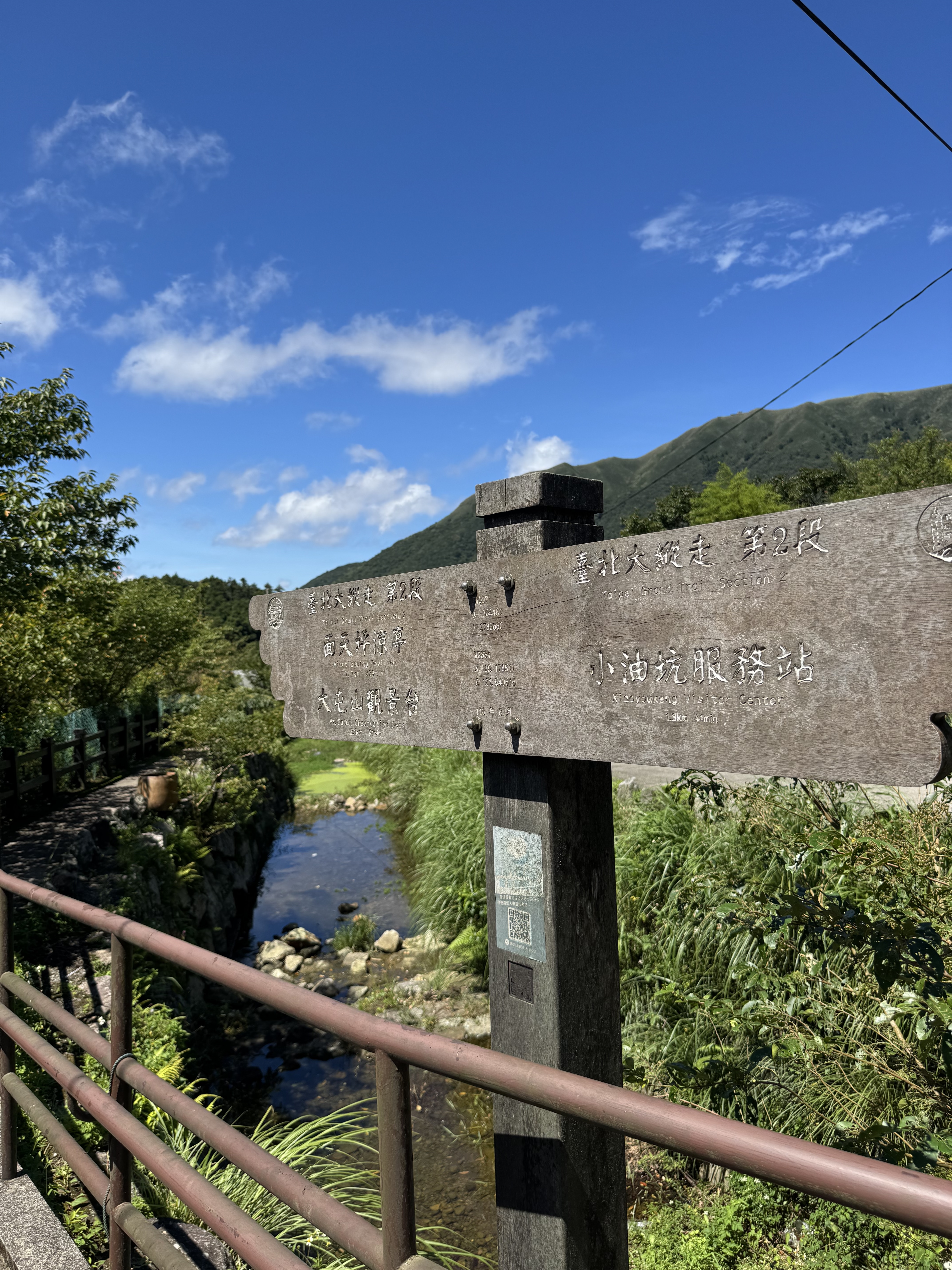
The trail is largely one way and easy to follow, except for one spot. It crosses a bridge and runs into another trail running crosswise. The sign is covered in moss and difficult to see, but at this point, take a left to continue along the Taipei Grand Trail. If you accidentally go right, you’ll happen upon the road and a rather popular (but somewhat expensive and cash-only) restaurant.
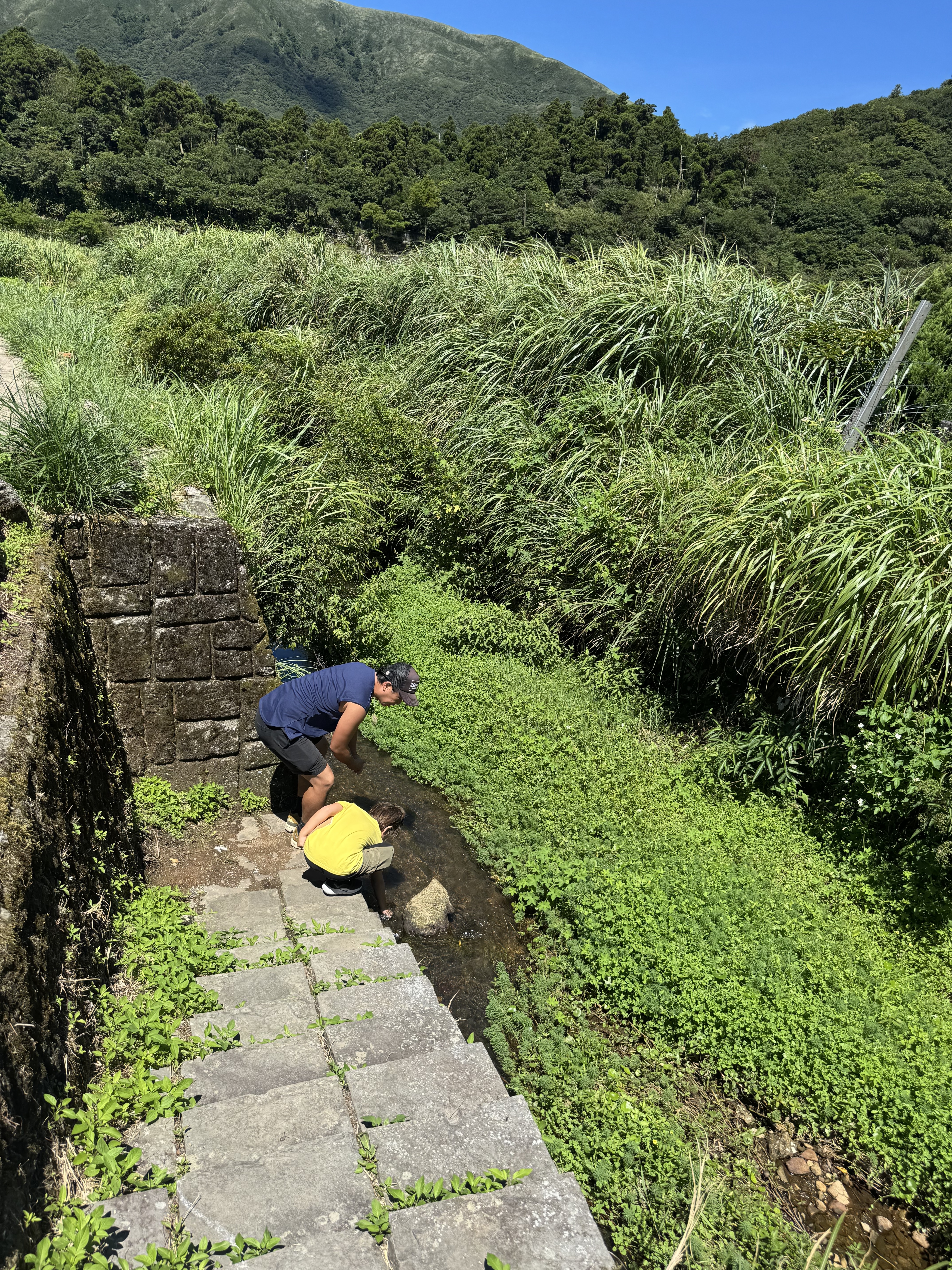
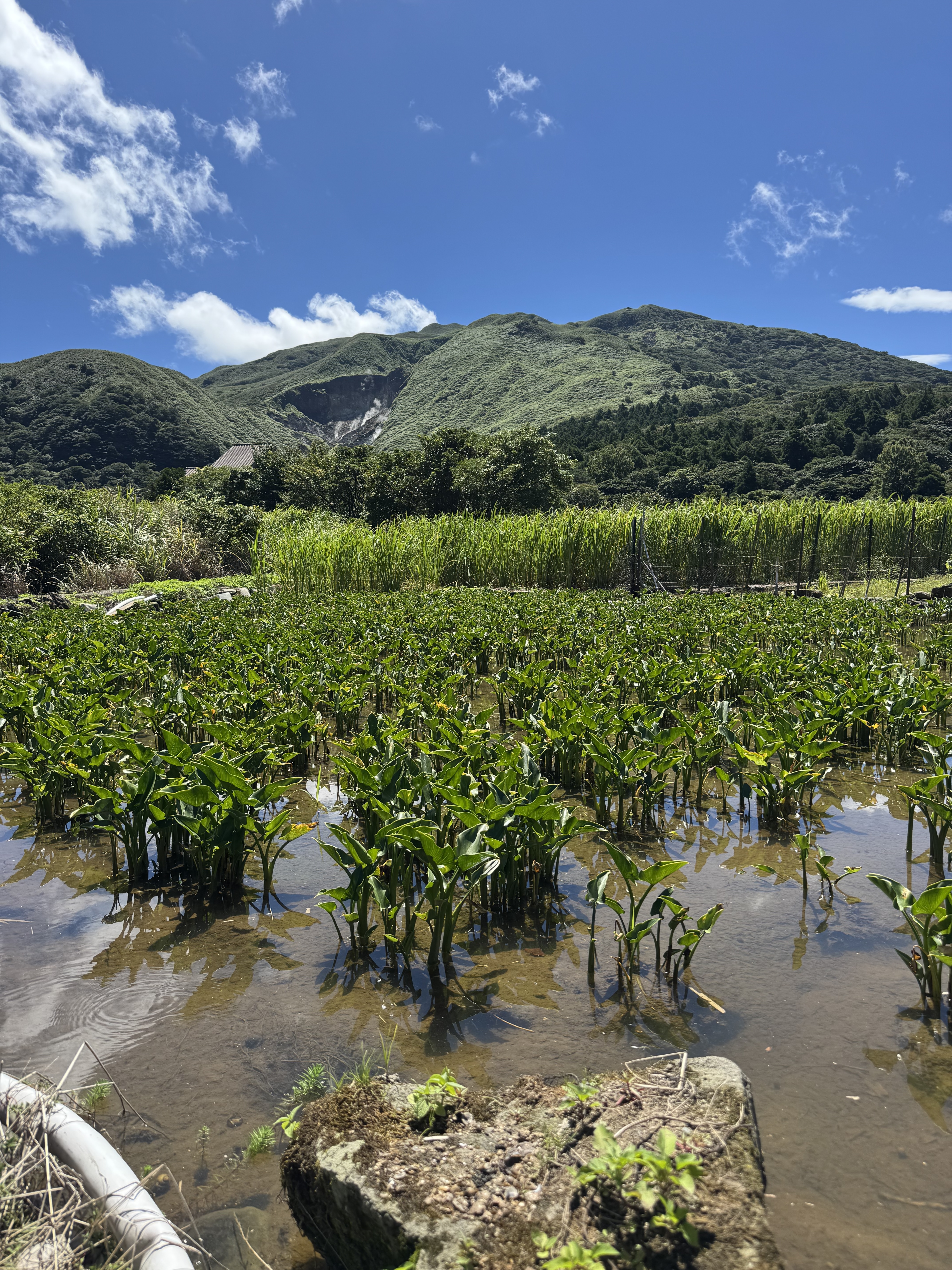
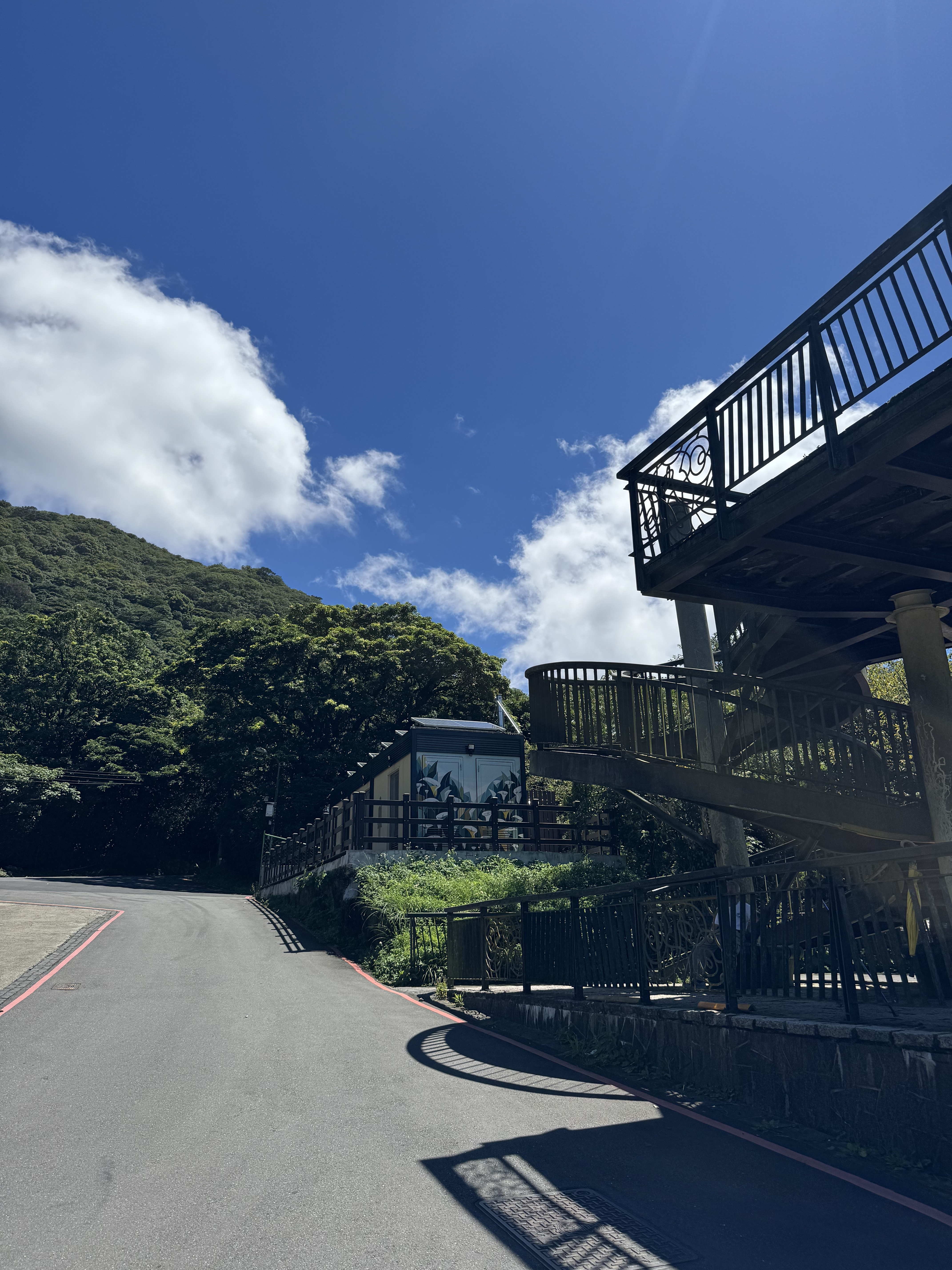
The stone path eventually gives way to pavement and the road. Soon, there is a viewing platform and newly constructed accessible restrooms (Note: these had not yet opened as of 8/14/2025, but looked complete). We climbed the tower and enjoyed the view over the valley and its watery fields. At this point, the sulfur vents of Xiaoyoukeng began to gain prominence in the distance, and my son became excited to visit the volcano.
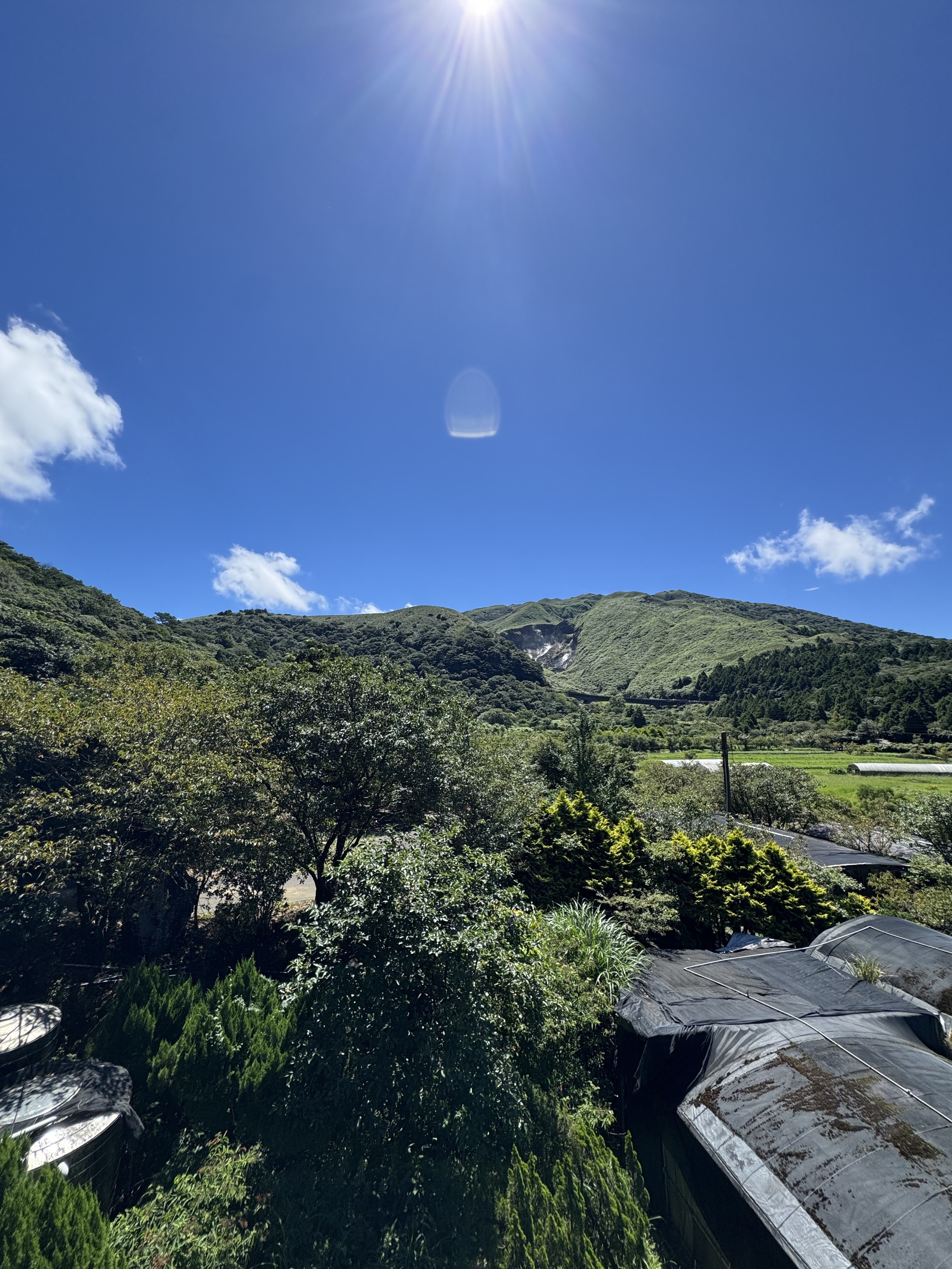
We continued along the road for another few hundred meters to where the path reappeared to the left (directly after the oddly named “Black Treehouse” B&B, which is neither black nor a treehouse). Here the trail became steep and somewhat overgrown. Eventually the paved trail turned into stone stairs. There was a fork in the path which we followed left (a waterfall and another trail goes off to the right). A few staircases later, we passed a bee hive hanging over the trail (eek!) and came out on the road at Xiaoguanyin Parking.
The stairs and the heat had sapped the last of our energy, and so this is where we ended up turning back. We followed the same path to return to our car. The volcano would have to wait!
The roundtrip mileage was about 3 mi (including some wrong turns and backtracking) and took us about an hour and a half.
Last but not least, don’t forget to check out my printable color-your-hike map of Section 2 on Etsy! You can highlight the sections you’ve completed to make the larger arc of the trail more digestible for your young one. Until next time!

Leave a comment